News
Abu Dhabi's $8.66B Ports Buyout: Verifying Maritime Infrastructure Expansion With Satellites
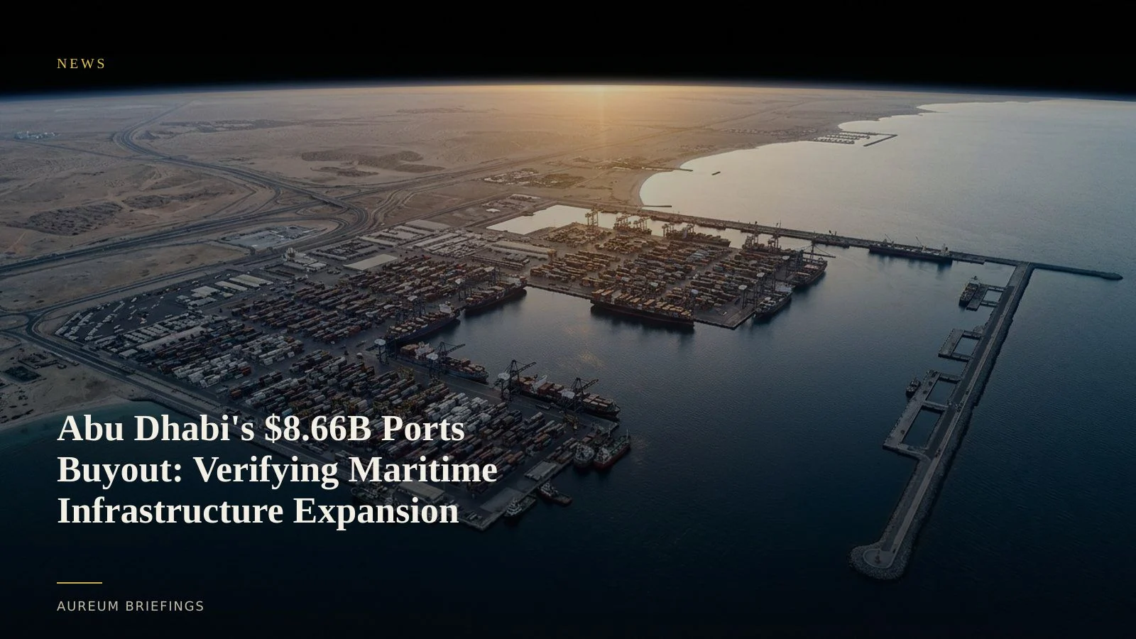
Abu Dhabi wealth fund L'imad Holding has offered 31.8 billion dirhams ($8.66 billion) to buy out minority shareholders in Abu Dhabi Ports. Satellite tracking confirms whether terminal expansions match sovereign infrastructure plans.
Sovereign capital targets port control
In a major consolidation of maritime infrastructure, Abu Dhabi wealth fund L'imad Holding offered to take Abu Dhabi Ports Group private at a valuation of 31.8 billion dirhams ($8.66 billion). The transaction signals an accelerating effort by Middle Eastern sovereign capital to centralise trade and logistics networks.
Taking full control of terminal assets allows state funds to rapidly expand trade corridors. As global trade faces recurring maritime shocks, institutional resilience depends heavily on controlling resilient physical infrastructure rather than relying solely on spot commodity flows, a trend noted in recent macro analysis on energy market resilience.
Verifying berth expansion and terminal throughput
When corporate press releases announce billions in infrastructure investments, traders must verify whether physical earthworks and terminal capacity are keeping pace. Satellite imagery provides direct verification of quay expansion, berth construction, and gantry crane installations.
By measuring container stack density and vessel activity at major hubs like Khalifa Port, investors see operational changes directly. Using 10-metre optical observations from ESA Copernicus Sentinel satellites, satellite analysis detects yard footprint changes weeks before quarterly throughput numbers publish.
When paired with global container benchmarks like the Freightos Baltic Index, tracking yard density reveals whether regional terminals are experiencing genuine operational surges or seasonal baseline shifts.
Why infrastructure consolidation matters for commodity traders
Port ownership shifts directly influence regional logistics pricing and supply chain throughput. When state entities consolidate terminal management, landside storage capacity and feeder networks are often reconfigured to handle higher export volumes.
Retail and DIY investors without an internal remote-sensing desk usually rely on lagging earnings reports. By contrast, satellite-backed observation tracks berth congestion, bulk cargo piles, and container staging in real physical terms.
Comparing current terminal footprint measurements against historic baselines allows traders to evaluate whether port operators are successfully absorbing regional shipping detours.
How DIY traders inspect physical infrastructure
Rather than navigating complex Earth observation software or buying costly enterprise image feeds, traders can use streamlined satellite intelligence tools.
Query allows you to ask targeted questions about terminal construction, container yard staging, or storage footprints in plain English and receive a satellite-backed answer.
For ongoing monitoring, Track offers hand-built KPI boards covering critical global logistics nodes and commodity hubs, helping you track physical supply chain shifts as new satellite coverage lands.
Inspect physical trade infrastructure with Query
Join the private beta to run satellite-backed verification across major ports, supply chain nodes, and energy assets.