News
Brazil Offshore Oil Frontier: Verifying Petrobras Equatorial Margin Operations With Satellites
Petrobras confirmed a major discovery at the Morpho-1 well in Block FZA-M-59 near the mouth of the Amazon River. Satellite analysis tracks drillship activity and coastal support logistics.
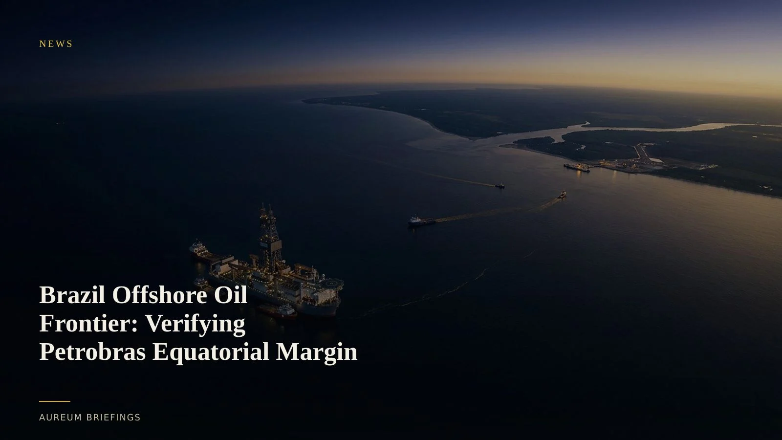
Petrobras opens Brazil's Equatorial Margin frontier
State-run energy giant Petrobras announced a significant crude oil discovery at the Morpho-1 well off Amapá in Block FZA-M-59. Situated roughly 180 kilometres off the northern coast of Brazil near the mouth of the Amazon River, the well marks a pivotal breakthrough for South American offshore production.
President Luiz Inácio Lula da Silva described the find as a vital asset for the nation's long-term energy strategy. Despite environmental debate surrounding drilling near ecologically sensitive mangrove systems, Petrobras is moving forward with geological appraisal and site characterisation across the basin.
For energy traders, the discovery signals a potential long-term shift in Atlantic basin crude balances, complementing established pre-salt fields off Rio de Janeiro and Santos.
Global supply balances amidst geopolitical friction
The expansion of South American deepwater crude capacity comes as global oil security faces headwinds elsewhere. Reports from the Atlantic Council on geopolitical security highlight ongoing gray-zone risks and energy supply vulnerabilities across European transit corridors.
As global trade flows reorient around political alliances and chokepoint risks, institutional desks rely on multi-region balances. According to IEA global crude market analysis, non-OPEC Atlantic supply growth remains a principal driver of medium-term market stability.
Verifying whether offshore projects hit operational milestones on schedule requires observing ground truth rather than relying solely on press releases.
How satellite imagery confirms offshore exploration
Monitoring deepwater drilling 180 kilometres offshore presents unique intelligence challenges. Optical satellite passes identify high-reflectance drillships, semi-submersible rigs, and support vessels operating at offshore coordinates.
Synthetic Aperture Radar (SAR) provides reliable vessel detection through cloud cover and precipitation typical of equatorial weather systems. SAR signatures confirm whether drillships remain anchored on station during long-duration well testing.
Onshore, satellite imagery monitors support bases in Amapá and Pará. Tracking pipe yards, supply vessel berths, and mud-plant construction offers direct evidence of operational scaling weeks before quarterly capital expenditure updates.
Closing the intelligence gap for individual traders
Institutional market participants frequently purchase bespoke satellite feeds from commercial operators to track rig locations and port staging. Individual traders traditionally lacked direct access to these datasets, relying on delayed commentary.
Aureum bridges this divide. Using Query, traders can ask plain-English questions regarding specific offshore blocks, port facilities, or vessel corridors to receive clear, evidence-backed answers.
To follow established supply routes, traders rely on Track boards to monitor key infrastructure and maritime corridors without building custom geospatial pipelines.
Verify physical market claims with Earth data
Private beta is open. Ask Earth a question with Query, or follow hand-built Track boards on named infrastructure.