News
Citadel Moves Upstream into U.S. Shale: Satellite Verification of Wellhead Activity
Major commodity trading houses are buying physical shale acreage in South Texas to capture wellhead margins. Satellite observation provides independent confirmation of drilling, completion, and pad production without private operator data.
Trading desks move directly to the wellhead
Commodity trading giants are shifting capital directly into physical upstream assets. Reports confirm hedge fund and merchant trader Citadel has held negotiation talks with private equity owners of oil-weighted producers, including a recent bid for South Texas Eagle Ford operator WildFire Energy before Magnolia Oil & Gas acquired the asset in a 4.06 billion dollar transaction. By evaluating working interests in shale acreage, major desks aim to link physical crude gathering with proprietary market visibility.
This vertical integration allows multi-strategy funds to evaluate wellhead decline rates, gathering line pressures, and shut-in decisions directly. When commodity trading houses control physical production, external market participants relying solely on delayed monthly government surveys face an informational gap.
Reading wellpad operations from space
Traders do not need to own leaseholds in South Texas to observe physical field developments. Upstream shale operations leave distinct physical marks that orbital sensors register regularly across entire basins.
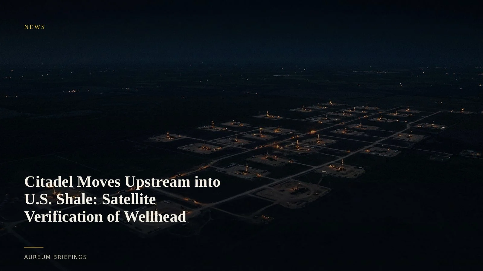
Pad preparation, rig emplacement, and hydraulic fracturing crews require substantial surface footprint changes and heavy equipment staging. By tracking optical land surface changes alongside NASA FIRMS thermal flaring tracking, analysts can confirm whether an operator is actively completing wells or holding back output.
Bridging the information gap against physical desks
When hedge funds integrate physical production with trading strategies, they work to eliminate announcement lag in their positions. Official figures from the EIA Weekly Petroleum Status Report provide national baselines, but publish with an inherent reporting delay.
Satellite-backed analysis measures physical changes at the lease level. Tracking surface clearance for new pad construction and observing flare stacks across Eagle Ford and Permian acreage reveals operational pace before official statistics publish. Independent traders can verify whether physical supply claims align with ground reality.
How to track upstream assets on Aureum
Navigating commodity markets where institutions hold physical assets requires transparent verification. Institutional platforms like SpaceKnow satellite analytics offer high-cost satellite indexes tailored for enterprise trading desks, but individual market participants require direct tools.
Using Aureum Query, traders can evaluate surface disruption, flare signatures, and equipment staging on target basins in minutes. Meanwhile, Aureum Track delivers curated KPI boards monitoring critical energy corridors and storage infrastructure so you stay informed when physical supply shifts.
Verify physical commodity flows
Private beta is open. Ask Earth a plain-English question or follow hand-built Track boards.