Briefing
EV Electrical Steel Expansion: Satellite Verification of Production
Automakers and steelmakers are announcing major joint ventures for high-efficiency electrical steel. Satellite imagery provides independent proof of facility construction and scrap handling.
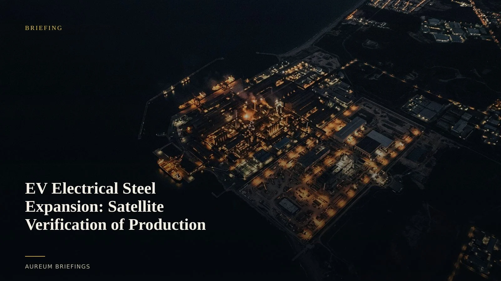
The physical reality behind EV steel joint ventures
Major automotive manufacturers and steel producers routinely announce joint R&D ventures to develop specialised silicon electrical steel for electric vehicle drive motors. These high-grade sheets are critical for motor efficiency, yet converting standard steel capacity to advanced electrical steel requires massive physical plant adjustments.
For traders and physical commodity analysts, press releases signal strategic intent but fail to confirm operational timelines. Building cold-rolling mills, installing specialised annealing lines, and expanding storage yards take months of visible earthworks and heavy construction before commercial volumes ship.
Relying solely on quarterly reports or corporate announcements leaves investors exposed to execution delays. Independent physical verification reveals whether capital expenditure is translating into active production capacity.
What satellites show at cold-rolling facilities
Monitoring electrical steel production relies on tracking specific physical indicators around specialised rolling mills. Optical imagery from Earth observation satellites shows ground disturbance during plant foundation construction, high-bay factory shed erection, and expanded scrap metal staging yards.
By comparing high-frequency passes over industrial parks, analysts can verify structural additions and heavy vehicle traffic long before official output data publishes. Thermal signatures and outdoor inventory density confirm whether newly built facilities are actively operating or idling between trial runs.
Accessing these observations through open Earth observation programmes allows traders to build objective timelines without waiting for laggy national trade statistics.
Closing the physical intelligence gap
Historically, institutional research desks spent millions on proprietary satellite feeds and dedicated geospatial teams to track industrial capital projects. This created a structural advantage over individual investors who relied on corporate filings and delayed industry press.
Today, alternative platforms allow DIY traders to query specific industrial coordinates without managing complex GIS software or purchasing raw pixel arrays. Satellite-backed analysis synthesises optical and synthetic aperture radar data into clean, actionable findings.
Instead of guessing whether an automotive supplier will meet its motor steel targets next year, investors can verify physical progress on the ground in minutes.
Translating ground truth into market positions
Tracking specialised steel production provides actionable context across multiple asset classes. Changes in raw material inventories, such as high-purity silicon and specialised scrap, indicate shifting production mixes between standard construction steel and high-margin electrical grades.
According to worldsteel statistics on primary metals, global crude steel trends often obscure regional shifts toward high-value electrical alloys. Satellite verification clarifies whether specific facilities are meeting announced expansion schedules.
When combined with mineral supply datasets from US Geological Survey minerals monitoring and satellite observations from European Space Agency Copernicus imagery, DIY investors gain a complete physical picture of the EV metals value chain.
Start tracking the physical economy
Private beta is open. Query satellite evidence on demand or follow hand-built Track boards on named industrial sites.