News
Iran Declares New Gulf Restricted Zone: Satellite Radar Tracks Corridor Shifts
Tehran announces a new restricted maritime zone and designated transit corridor in the Gulf. Satellite radar reveals whether commercial tankers comply or anchor outside enforced limits.
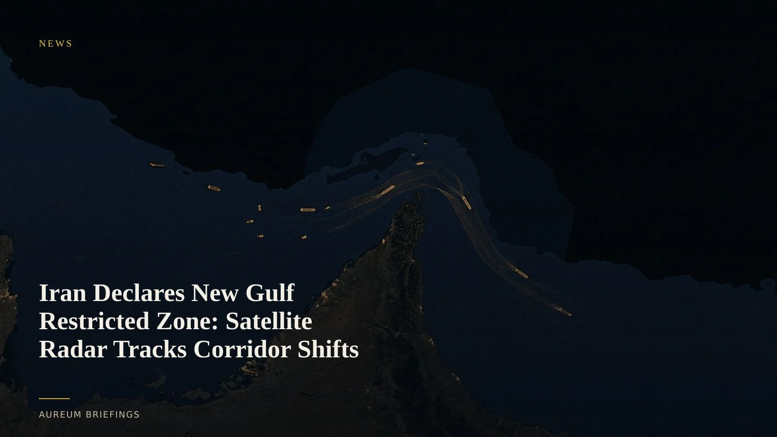
Tehran enforces new maritime limits after weekend shipping strikes
Iran has announced plans to publish maps establishing a new restricted zone in the Gulf alongside designated shipping lanes through the Strait of Hormuz. According to reporting on Iran's new Gulf restricted zone, the declaration follows a weekend exchange of strikes on commercial vessels that immediately drove crude futures higher.
The imposition of forced maritime corridors changes physical transit dynamics across the Persian Gulf. Commercial vessel operators face immediate choices between taking longer offshore detours, queueing at designated checkpoints, or risking transits through restricted waters under active naval monitoring.
While headline markets react to geopolitical statements, physical crude availability depends on actual vessel compliance. Knowing whether supertankers alter their course or congregate outside anchorage boundaries requires direct physical measurement.
Trade ties and dark fleet movement in restricted waters
The diplomatic context surrounding Gulf shipping is heavily influenced by bilateral trade relationships. Experts highlighted in analysis of diplomatic and trade backing between Beijing and Tehran note that economic ties with China provide Tehran with critical flexibility during maritime confrontations.
This dynamic directly affects physical trade flows. While Western-flagged operators often divert long before entering restricted zones, shadow fleet tankers and Chinese-flagged crude carriers frequently maintain direct transit routes under explicit or tacit safe-conduct agreements.
Automatic Identification System (AIS) transponders are regularly silenced in designated restricted zones. To track actual maritime traffic without relying on broadcast signals, traders turn to spaceborne sensors that penetrate cloud cover and darkness.
Measuring lane compliance with Synthetic Aperture Radar
Optical satellite imagery is frequently obstructed by atmospheric haze and coastal dust storms across the Gulf. Synthetic Aperture Radar (SAR) sensors overcome these limitations by emitting microwave pulses that reflect off metallic vessel hulls regardless of weather or lighting.
By processing open-access Copernicus satellite radar observations, analysts detect physical vessel positions and measure wake signatures to establish true transit speeds. Large institutions often supplement open data with enterprise synthetic aperture radar constellations to obtain higher imaging frequency.
Comparing SAR vessel detections against Iran's published corridor maps reveals whether crude flows are bottlenecked into narrow channels or continuing through unannounced bypass routes. This physical evidence shows whether crude supply is genuinely halted or merely rerouted.
Bridging headline noise and physical crude availability
For independent traders without an internal maritime research desk, reacting to sudden restricted zone announcements often leads to chasing paper price spikes. Headline quotes fluctuate on fear, but physical oil markets adjust only when actual barrel delivery is interrupted.
Aureum delivers the satellite-backed verification layer needed to validate maritime headlines. Instead of relying on delayed shipping news or stale map layers, traders turn to structured satellite intelligence.
With Query for targeted satellite questions and Track for hand-built KPI boards on key corridors, you can verify whether restricted zone declarations genuinely choke physical crude flows before weekly inventory numbers publish.
Verify maritime shipping disruptions with spaceborne evidence
Follow hand-built KPI boards on named maritime chokepoints or submit direct satellite queries.