News
Iran-Oman Hormuz Safe Corridor Framework: Satellite Verification
Tehran and Muscat have outlined a joint framework to manage Strait of Hormuz transit, including mine-clearing protocols. Satellite radar offers physical proof of vessel lanes before paper freight markets adjust.
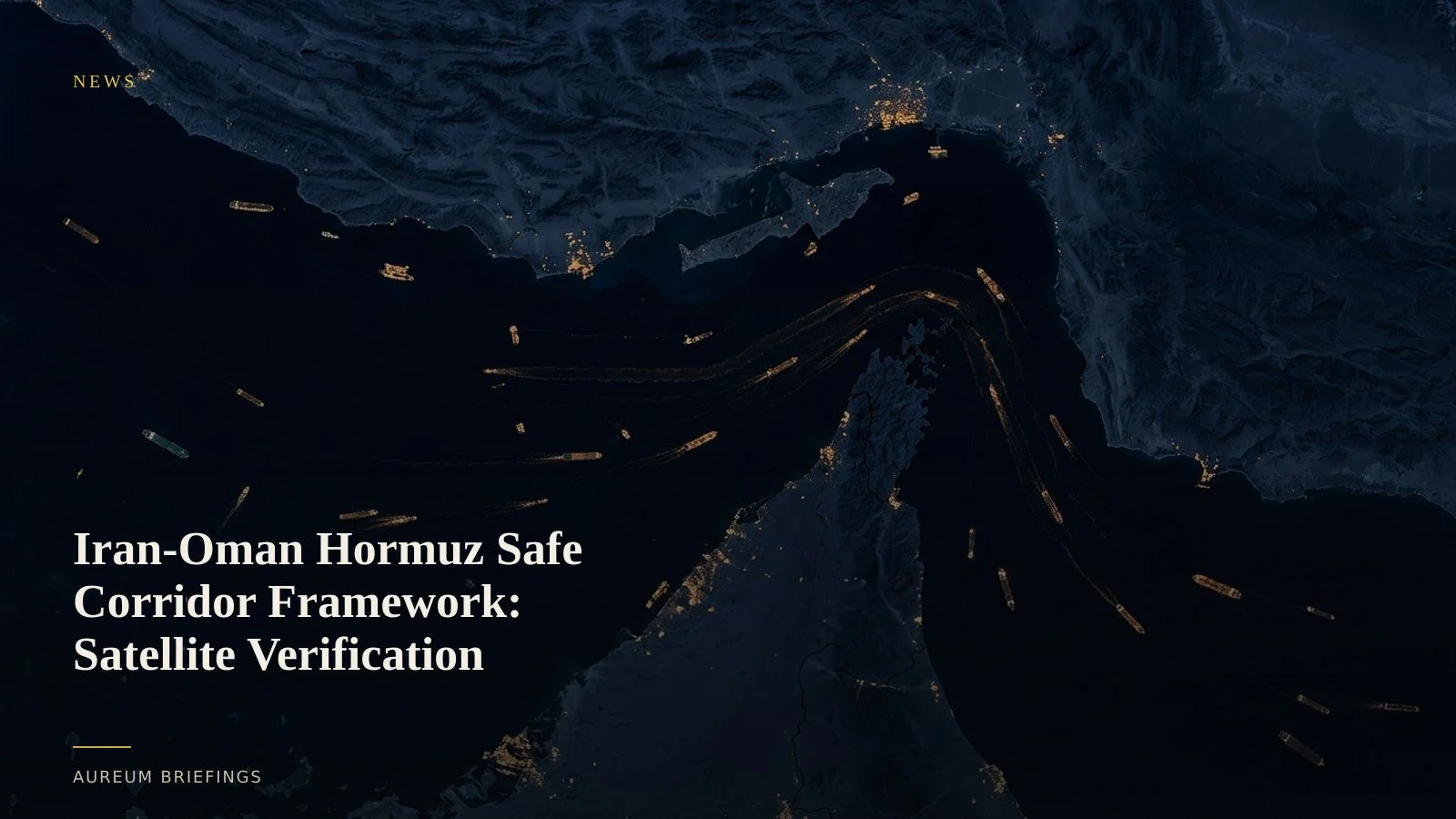
Iran and Oman outline joint transit rules for Hormuz
Iran and Oman have unveiled a diplomatic framework for managing vessel movement through the Strait of Hormuz, outlining joint mine-clearing sweeps and designated escort corridors for commercial shipping.
The agreement arrives as physical trade bottlenecks escalate across critical maritime chokepoints. Analysis from the Atlantic Council highlights how paper derivatives underprice maritime disruption risks, creating sharp disconnects between physical crude throughput and financial market pricing.
While diplomatic communiqués promise stability, physical commodity traders require ground-truth verification of whether mine-clearing operations are active and whether dark vessel traffic is altering safe navigation corridors.
Verifying mine-clearing and corridor clearance with satellite radar
Optical imagery over the Strait of Hormuz often suffers from severe summer haze and atmospheric dust. Synthetic Aperture Radar (SAR) penetrating cloud cover provides structural returns of naval mine-countermeasure vessels and trailing tanker queues.
Large financial institutions buy expensive commercial synthetic aperture radar satellite feeds to monitor naval positioning. DIY investors and independent commodity traders can verify the same physical choke-point activity by tracking satellite-backed vessel density metrics.
When naval units clear safe transit channels, satellite SAR captures the structural formation of mine-sweeping operations and the resumption of crude tanker convoying days before port authorities publish official transit logs.
Why physical transit checks beat headline reaction
Paper freight markets frequently misprice maritime risk by relying on delayed official press releases. When news of diplomatic agreements breaks, chartering rates can drop prematurely before physical channels are cleared of explosive hazards.
By comparing AIS signals against satellite radar detections, analysts spot discrepancies where laden tankers remain anchored off Fujairah despite press claims of restored transit routes.
This satellite-backed evidence allows retail traders and independent operators to assess crude supply flow risks accurately, avoiding position traps driven by headline speculation.
Using Aureum Query and Track for maritime intelligence
Rather than waiting for delayed trade publications or relying on incomplete public mapping tools, Aureum delivers satellite-backed answers directly to traders without requiring a dedicated research desk.
Use Query to ask direct questions about berth congestion or mine-clearing ship clusters in plain language. Follow Track for hand-built KPI boards covering critical energy corridors and industrial ports.
This structural view bridges the gap between headline noise and ground-truth physical execution.
Verify physical chokepoints with space-based intelligence
Join the private beta to follow hand-built KPI boards on the Strait of Hormuz and other key energy transit routes.