News
Chinese Container Carrier Opens Murmansk Route: Satellite Verification
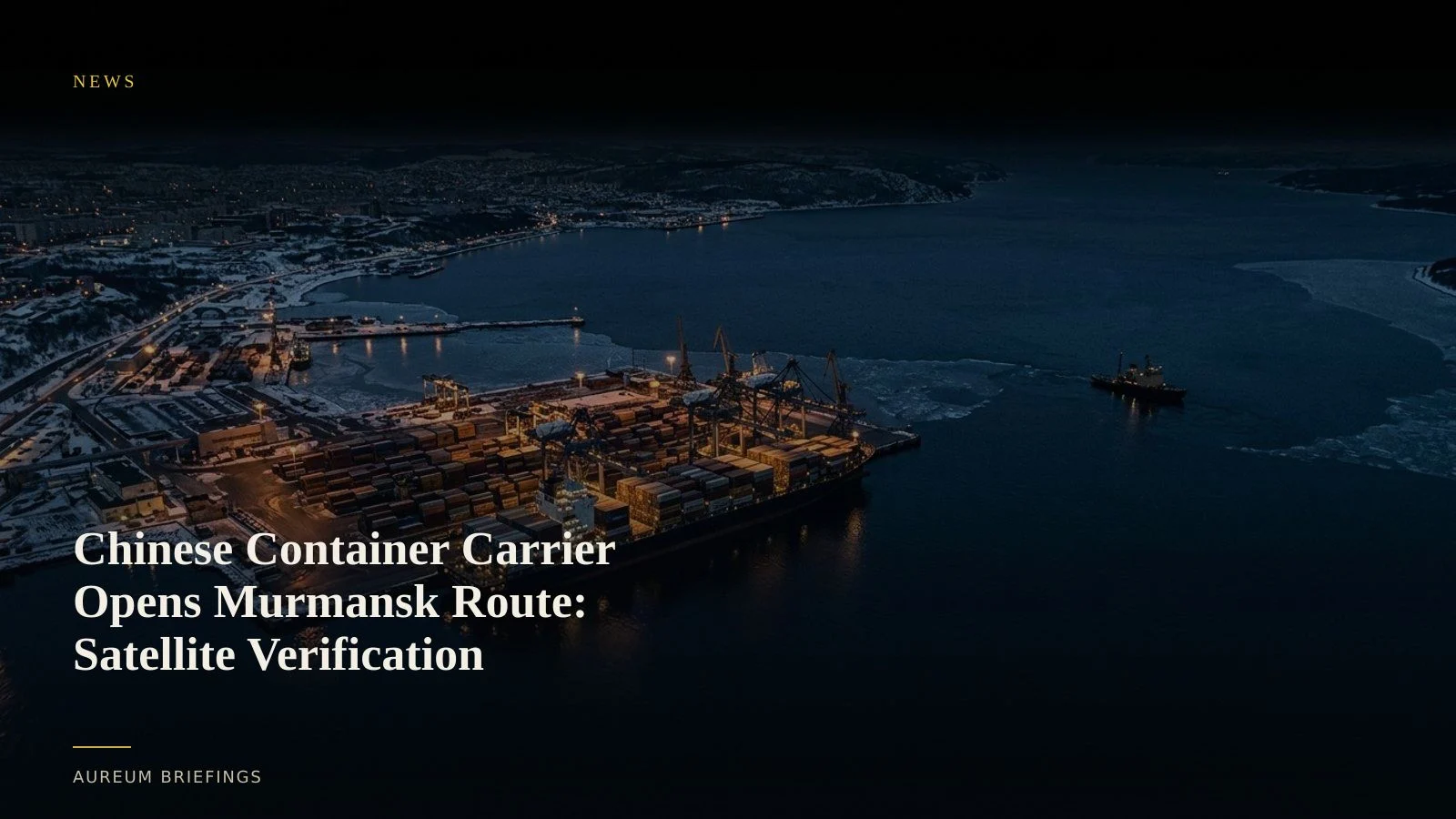
Chinese carrier NewNew Shipping Line completed its inaugural container delivery to Murmansk via the Northern Sea Route. Here is how satellite imagery verifies container yard staging and vessel transit before trade reports update.
China pushes deeper into Russia's Arctic corridor
Chinese container feeder operator NewNew Shipping Line has delivered its first batch of containerised cargo to Murmansk via the Northern Sea Route, according to shipping reporting on Arctic trade runs. The voyage signals a deeper commercial commitment to Russia's high-latitude shipping lanes alongside broader strategic interest from Asian markets.
This voyage moves Arctic container shipping beyond seasonal trial runs into regular commercial discharge. While Western carriers avoid Russian northern ports, Chinese operators are building direct maritime links into Russian industrial heartlands.
For traders watching non-standard logistics corridors, relying on lagging trade stats or press releases creates an information delay. Verifying physical vessel arrivals and terminal yard throughput requires direct observation from orbit.
Economic alignment and infrastructure risk
The expansion of Chinese commercial shipping into Russian Arctic waters coincides with heightened scrutiny over geopolitical statecraft and covert influence. Recent Atlantic Council analysis on covert influence highlights how economic integration and maritime footprint expansion form part of broader state-backed initiatives.
Murmansk serves as a vital dual-use logistics node. Increased containerised volumes test the capacity of Murmansk commercial seaport facilities and the regional railway infrastructure connecting the Kola Peninsula to central Russia.
When state-backed maritime shifts occur, official trade manifests often lag by two to three months. Satellite imagery provides the independent ground truth needed to measure actual container staging.
Verifying Arctic port staging with orbital sensors
Tracking Northern Sea Route traffic requires combining positional tracking with optical and radar satellites. While MarineTraffic AIS tracking tools report vessel positions, Arctic ships frequently disable AIS transmitters or encounter satellite coverage gaps.
Synthetic Aperture Radar (SAR) cuts through Arctic cloud cover and polar night. Synthetic Aperture Radar detects metallic vessel hulls anchored in ice-laden channels, while optical satellites like ESA Copernicus Earth observation capture container stack expansion on the quay.
Institutional desks routinely pay six-figure sums for custom satellite analytics feeds. DIY investors can run similar verification by asking structured questions against recent orbital passes.
Market impact for Arctic freight and commodities
A functioning container corridor to Murmansk shifts regional freight dynamics. Reduced transit times between East Asian ports and northwest Russia bypass congested southern chokepoints, lowering transit costs for heavy equipment and consumer goods.
The key signal for traders is container yard clearance rates. If containers stack up at Murmansk, local rail links are bottlenecked. Rapid yard clearance indicates smooth inland transit into central Russian distribution hubs.
Rather than waiting for quarterly customs reports, traders can observe terminal density changes as new satellite scenes land.
How to track Arctic supply chain shifts with Aureum
Aureum gives retail investors and commodity analysts direct access to satellite intelligence without needing a dedicated remote-sensing department.
Use Query to ask targeted questions about specific ports, quay side activity, or vessel staging along the Northern Sea Route. Get satellite-backed analysis with visual evidence attached.
Follow Track for hand-built KPI boards covering critical global logistics nodes, energy corridors, and maritime chokepoints.
Run satellite intelligence on global trade
Private beta is open. Ask Earth a question with Query, or follow hand-built Track boards on named maritime corridors.