News
Prediction Markets Spike on Hormuz Tanker Risk: Satellite Verification
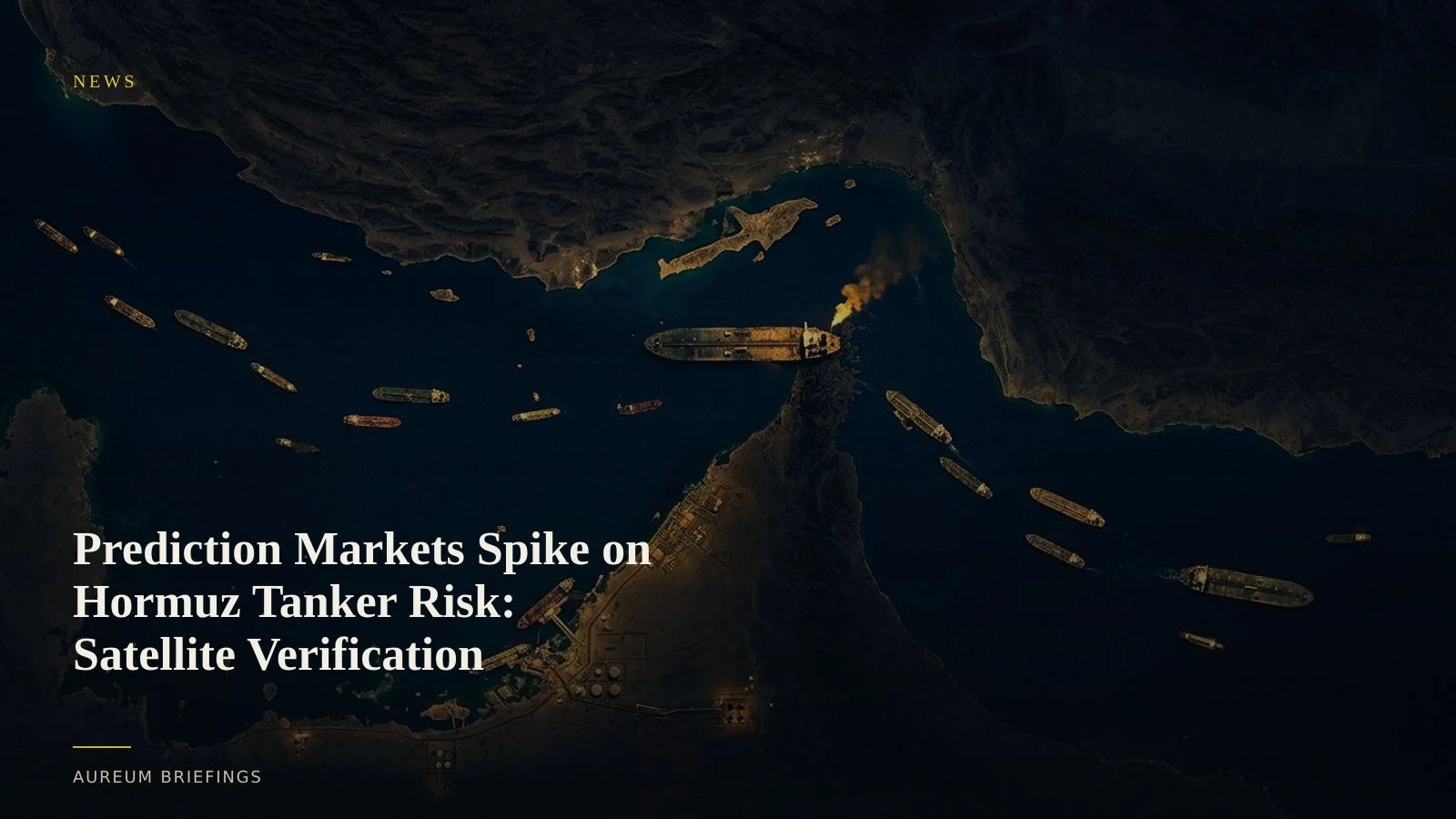
Rising prediction market volumes on geopolitical shipping risks meet new Gulf tanker attacks. Satellite imagery verifies actual vessel positions and crude staging before contracts settle.
Prediction market volumes surge on maritime shocks
Trading volume across event platforms has escalated sharply as market participants price geopolitical escalations, maritime chokepoint blockades, and global crude supply shocks. Following recent public comments from regulators regarding the surge in prediction market trading, retail traders and macro funds are increasingly using binary event contracts to hedge physical energy exposure or trade corridor closures.
The mechanics of binary event contracts depend on unambiguous resolution criteria. Yet headline noise frequently causes sharp price swings in prediction markets before physical underlying conditions actually alter on the ground.
New Hormuz attacks force Saudi crude back into the strait
The risk of relying solely on social feeds or unverified news wires became stark this week as three tanker attacks hit Hormuz shipping lanes. The strikes coincided with operational bottlenecks on secondary pipeline routes, forcing a significant volume of Saudi crude back through the vulnerable waterway.
While event contract odds for Hormuz transit halts jumped past 40 percent across major prediction platforms, paper positions can easily disconnect from physical operations. Speculators pricing total blockades need empirical evidence of vessel behaviour rather than reacting to initial headline spikes.
Satellite imagery reveals vessel staging behind the odds
Satellite-backed analysis provides the objective ground truth required to evaluate moving contract odds. While transponder tracking can be obscured when vessels turn off AIS transponders or spoof locations, Synthetic Aperture Radar (SAR) and optical imagery confirm actual hull locations, berth occupancy, and anchorage density.
Institutional commodity desks often purchase proprietary high-frequency radar feeds from enterprise synthetic aperture radar providers to track dark vessels. DIY traders relying on open browser platforms frequently run into dated imagery tiles that lack rigorous measurement. Satellite intelligence bridges this gap by converting orbital captures into verified vessel counts and movement trends.
Evaluating event probability with physical evidence
When prediction markets move rapidly on unconfirmed maritime reports, a satellite-backed process prevents false entries. Traders can cross-examine official EIA weekly petroleum status prints against satellite evidence showing whether crude export berths are actively loading or idling.
Rather than guessing whether pipeline bypasses are absorbing diverted crude, direct observation reveals true staging at terminals like Yanbu and Fujairah. Comparing prediction market probability against physical vessel density creates actionable clarity when sentiment runs hot.
Cross-check market odds with Earth observation
Free to join during the beta. Ask Earth a direct question with Query, or follow hand-built Track boards on strategic global corridors.