News
Saudi Supertankers Struck in Hormuz: Satellite Verification of Crude Traffic
Two Saudi crude supertankers were hit by projectiles in the Strait of Hormuz within minutes of each other. Here is how satellite radar verifies actual flow disruptions and anchorage congestion.
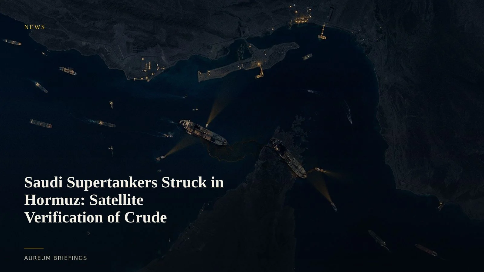
Twin projectile strikes hit outbound Saudi VLCCs
Two supertankers carrying Saudi crude oil were struck by unknown projectiles within minutes of each other while transiting outbound through the Strait of Hormuz late on Monday, according to maritime tracking intelligence from gCaptain reporting on Saudi tanker strikes. Both Very Large Crude Carriers (VLCCs) suffered hull damage during transit, elevating security alerts across Persian Gulf shipping corridors.
When physical security threats escalate in narrow chokepoints, market commentary tends to react immediately, pricing in hypothetical supply halts before physical vessel traffic changes. For commodity traders and DIY investors assessing global crude balances, the crucial question is whether transit volumes actually stall or if operators quickly adapt routes and convoy protocols.
Why satellite radar cuts through AIS dark periods
During elevated conflict in narrow maritime passages, commercial vessels frequently disable Automatic Identification System (AIS) transponders to reduce target visibility. Relying solely on public vessel tracking services leaves significant blind spots during active disruptions.
Synthetic Aperture Radar (SAR) imagery captured via European programmes like ESA Copernicus Sentinel-1 radar penetrates cloud cover and operates regardless of daylight or active AIS broadcasting. By comparing SAR metallic reflections across sequential orbits, analysts can identify vessel positions, verify transit speeds, and measure physical congestion at key regional anchorages such as Fujairah.
Measuring bypass pipelines and alternative terminal loading
When chokepoints face military risk, sovereign exporters re-route crude through overland infrastructure, including Saudi Aramco's East-West Pipeline to Yanbu on the Red Sea. Satellite optical and thermal sensors observe loading berths and storage tank shadow levels across alternative terminals, providing early evidence of redirected supply.
Tracking physical crude exports requires comparing baseline vessel counts against operational terminal activity. Rather than relying on speculative headline commentary, comparing satellite-backed vessel counts against official benchmarks like the EIA petroleum supply statistics reveals whether export volumes are genuinely constrained or merely delayed.
How DIY traders act on physical chokepoint evidence
Institutional commodity desks historically paid enterprise analytics vendors thousands of pounds monthly for custom satellite vessel counts. Aureum provides individual investors and independent traders access to that same satellite-backed rigor through plain-English querying and curated KPI boards.
When headline shocks occur in high-stakes shipping lanes, checking physical satellite evidence enables you to confirm whether tankers are maintaining outbound passage, backing up at anchorages, or shifting load operations to alternative ports before markets adjust prices.
Verify physical crude flows before the market settles
Join the private beta to ask satellite queries on global facilities or follow hand-built Track boards on critical transit corridors.