Briefing
Verifying Soybean Export Bottlenecks With Satellites
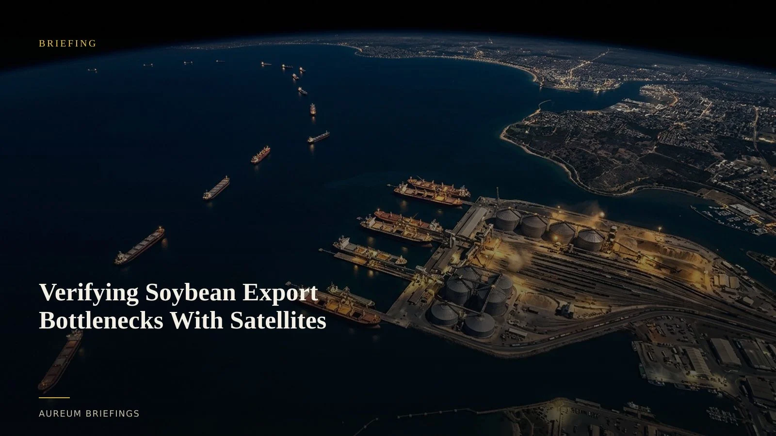
Harvest forecasts mean little if physical logistics fail at the coast. Satellite intelligence confirms bulk carrier anchorage density and grain elevator staging before paper markets adjust.
Agricultural futures move when physical logistics choke
Traders tracking global grain balances spend months following crop condition reports and weather anomalies. Yet some of the largest price moves happen downstream, when heavy harvests collide with overloaded port terminals.
When soybean exports pile up at major ocean terminals, vessel turnaround times spike and dry bulk freight rates adjust. Relying solely on official monthly supply estimates, such as the USDA WASDE crop reports, leaves market participants reacting weeks after physical congestion has already peaked.
The critical question is whether gathered crops are actually loading onto vessels or sitting stuck at coastal terminals. Satellite imagery delivers direct physical evidence of vessel queues and storage yard activity before official export volumes print.
The reporting lag in agricultural export flows
Conventional commodity analysis relies on published customs data, port authority announcements, and macro market monitors like the AMIS Market Monitor. While accurate, these prints arrive long after physical bottlenecks form.
Automatic Identification System signals from vessels provide a helpful baseline, but AIS data can be spoofed, turned off, or distorted in crowded anchorages. Knowing that twenty vessels are anchored offshore does not tell you if terminal conveyor belts are actively loading grain or halted due to equipment downtime.
Institutional desks routinely pay for custom satellite monitoring from enterprise providers like SpaceKnow industrial activity indices to quantify terminal throughput. For individual investors and independent commodity traders, accessing that physical intelligence previously required enterprise budgets or specialised GIS teams.
How satellite imagery measures export velocity
Measuring physical export velocity relies on combining optical imagery with synthetic aperture radar. Satellite passes from open constellations like ESA Copernicus Sentinel satellites capture berth occupancy and open-air storage density.
Radar sensors penetrate cloud cover to track vessel count and position in offshore anchorages. By comparing satellite passes over key grain terminals, analysts measure how long dry bulk vessels wait at anchor before reaching the berth.
Changes in dry bulk carrier turnaround times directly correlate with shipping spot benchmarks published by the Baltic Exchange bulk indices. When loading rates slow down, freight spreads widen, and prompt delivery prices reflect the localized squeeze.
Bridging physical evidence and trading decisions
Using satellite-backed intelligence does not mean looking at endless maps or managing raw GIS files. It means translating optical and radar observation into measured operational changes.
With Aureum Query, you ask a simple question about a named port corridor or export hub and receive structured satellite evidence showing what changed between passes.
For ongoing monitoring, Aureum Track provides curated hand-built KPI boards covering major global chokepoints and industrial corridors. Readers follow established boards to observe physical shifts as coverage lands, eliminating the need to build analytical stacks from scratch.
Leveling the physical intelligence gap
For decades, high-frequency spatial analysis was restricted to major institutional commodity desks with dedicated GIS departments.
Aureum opens this capability to individual traders, DIY investors, and supply chain analysts who need to decide on physical assets without six-figure data contracts.
When market narratives focus on headline harvest figures, verifying actual export bottlenecks from space provides the clarity needed to trade physical reality rather than sentiment.
Verify physical trade flows with satellite intelligence
Join the private beta to run satellite queries on global terminals or follow hand-built physical economy boards.