Briefing
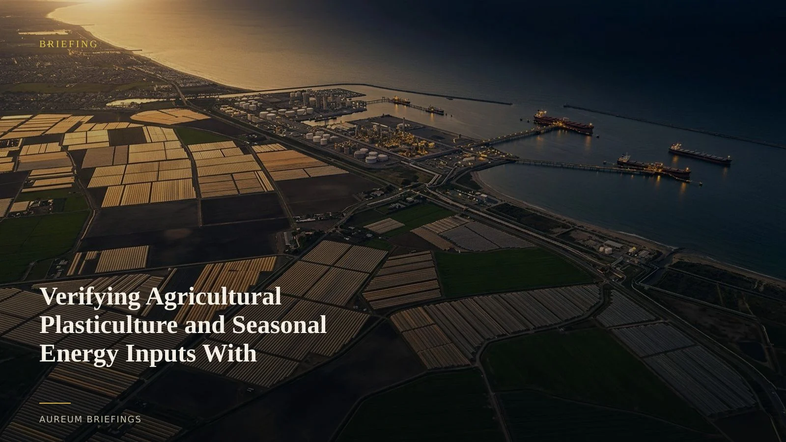
Verifying Agricultural Plasticulture and Seasonal Energy Inputs With Satellites
Diverging fuel costs and high-value cropping techniques create distinct physical signals. Satellite spectroscopy and energy data reveal agricultural shifts before official reports print.
Seasonal energy divergence impacts agricultural operating costs
High-value crop production relies heavily on fuel and material inputs to regulate soil temperature and water retention. The latest EIA winter energy outlook projects diverging energy expenditures across regions, with natural gas and propane prices softening while electricity and distillate prices remain elevated.
For growers relying on electric irrigation pumping or diesel heating, rising power costs compress operating margins. Tracking how growers adjust land management and artificial field covers in response to these cost pressures provides early visibility into seasonal acreage and crop yield expectations.
Measuring agricultural plastic cover with multispectral imagery
Plastic mulch film is widely utilised across high-value agroecological systems to conserve moisture and suppress weeds. Recent research on Sentinel-2 plasticulture spectral classification shows that optical imagery can classify dark and bright plastic mulch debris across field time series with high F1-scores, capturing changes in active acreage without requiring prior ground knowledge.
By analysing surface reflectance in shortwave infrared and optical bands, remote sensing quantifies field preparation, plastic application, and canopy growth. This satellite-backed analysis helps commodity analysts verify active cultivated area well before regional harvest tallies are published.
Turning spectral observations into commodity trade context
Traditional market participants often wait on lagged survey prints or government statistics to gauge seasonal planting intentions. Combining energy price benchmarks with satellite spectroscopy gives traders a physical baseline to verify ground reality.
When power grid or fuel costs shift crop economics, physical field activity reflects those decisions immediately. Tracking field plastic installation and canopy development provides concrete confirmation of grower activity across key agricultural basins.
Accessing satellite-backed ground truth without specialised tools
Large institutional research desks historically spent tens of thousands of dollars on custom remote sensing teams and manual aerial survey passes. DIY investors and independent commodity traders were left relying on dated imagery or delayed market summaries.
Aureum bridges that gap. Query allows you to ask targeted physical questions about crop basins, ports, or industrial facilities and receive measured ground evidence in minutes. Track offers curated, hand-built KPI boards on named sites and trade corridors so you can follow physical changes continuously.
Ground truth for physical economy decisions
Whether trading agricultural futures, assessing regional energy demand, or conducting supply chain diligence, satellite-backed verification replaces speculation with physical evidence.
By evaluating spectral ground cover and regional cost drivers side by side, traders gain an objective baseline on the physical economy long before official announcements settle market prices.
Run satellite analysis on your target markets
Free to join during the beta. Ask Earth a question with Query, or follow hand-built Track boards on named sites.