Briefing
Verifying High-Efficiency Electrical Steel Retooling With Satellites
When steelmakers and motor manufacturers form consortia to produce high-efficiency silicon steel for electric vehicles, satellite-backed analysis confirms physical plant retooling before monthly trade prints update.
The lag between R&D headlines and physical tonnage
Joint industry ventures frequently announce developments in high-efficiency electrical steel sheet aimed at electric vehicle drive motors. These headlines signal long-term shifts in raw material demand and specialised steel supply chains.
However, market participants trading metals or auto equities face a timing gap. Laboratory breakthroughs and consortium announcements take months or years to turn into physical production runs.
To determine whether a facility is actively retooling or increasing output, analysts need direct evidence from the plant floor and logistics yards rather than relying solely on press releases.
What satellite imagery detects at specialised steel mills
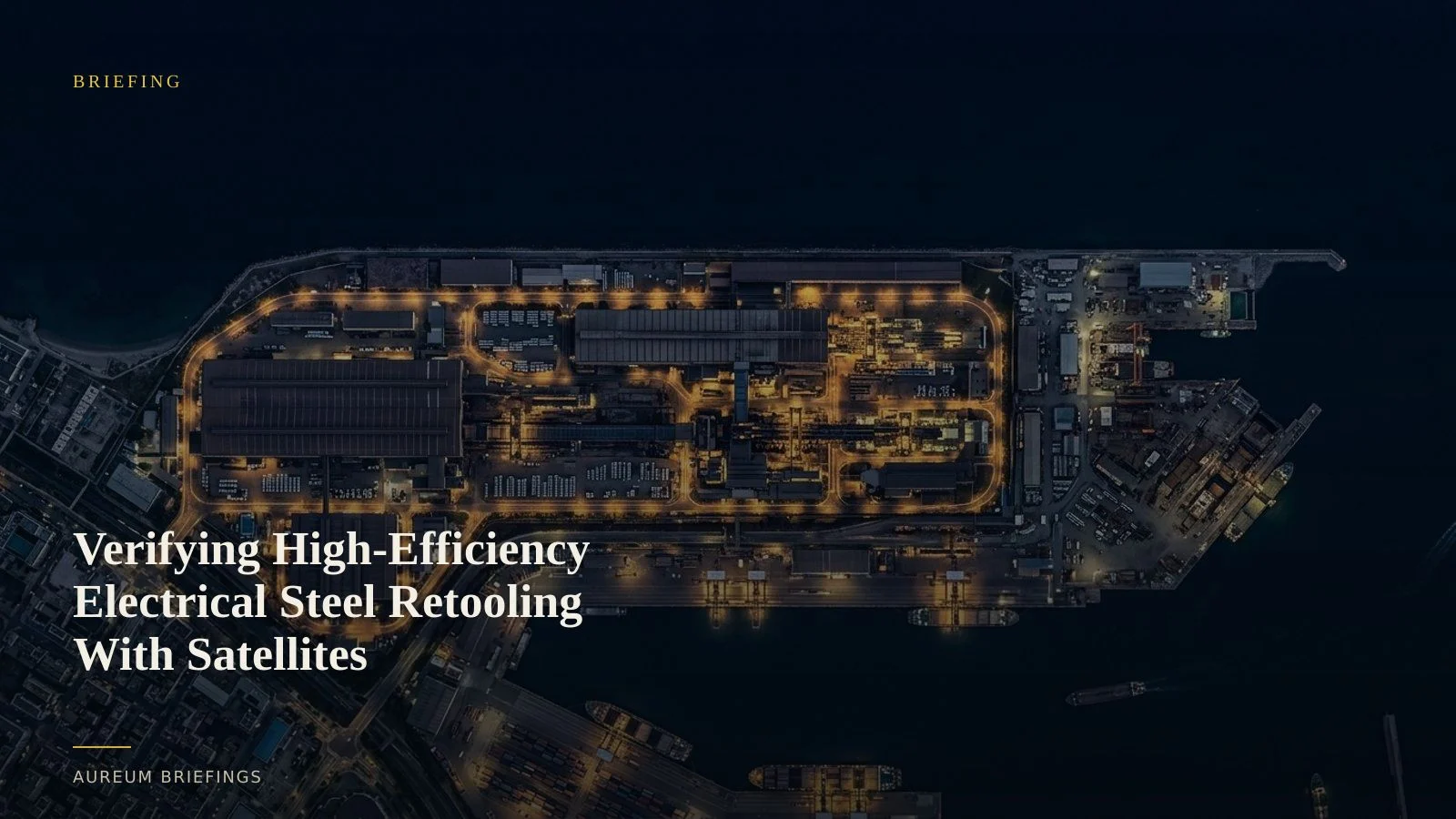
Tracking specialised steel manufacturing from space requires focusing on key physical indicators across the plant campus. High-resolution optical imagery and radar reveal civil engineering works, structural expansions of cold-rolling mills, and new annealing line buildings.
Beyond structural construction, satellite evidence tracks staging areas where heavy steel coils, raw scrap, and alloy inputs are stored. Changes in yard inventory density indicate shifts in operational readiness.
Thermal imaging from sensors like Sentinel-2 and Landsat further helps monitor active heat signatures from heat-treatment furnaces, providing independent verification of processing activity.
Moving beyond delayed reports and expensive tools
Institutional trading entities spend heavily on proprietary satellite platforms and custom remote-sensing teams to evaluate industrial activity. Meanwhile, individual investors often rely on public tools that present outdated satellite imagery without contextual measurement.
Through global steel industry statistics, market observers can see macro trends, but regional plant modifications remain hidden until retrospective data is published.
By utilising ESA Copernicus satellite observations, satellite-backed analysis bridges this gap, translating multi-spectral imagery into actionable physical evidence within minutes without requiring specialised software.
Integrating satellite analysis into trade decisions
For traders assessing commodity markets or automotive supply chains, physical verification serves as a crucial validation layer. When news breaks regarding new high-silicon steel production lines, satellite queries can immediately verify ground activity.
If satellite evidence shows active foundation laying, crane activity, or increased raw material staging, investors gain confidence that capital expenditure is proceeding on schedule.
Conversely, a lack of physical change at named manufacturing sites signals potential delays, allowing market participants to adjust their expectations before official disclosures occur.
Start reading the physical economy
Access satellite-backed answers on industrial sites and supply chains. Join the private beta to run queries or follow hand-built KPI boards.