News
Hormuz Transit Discrepancy: Satellite Radar Tracks Dark Crude Flows
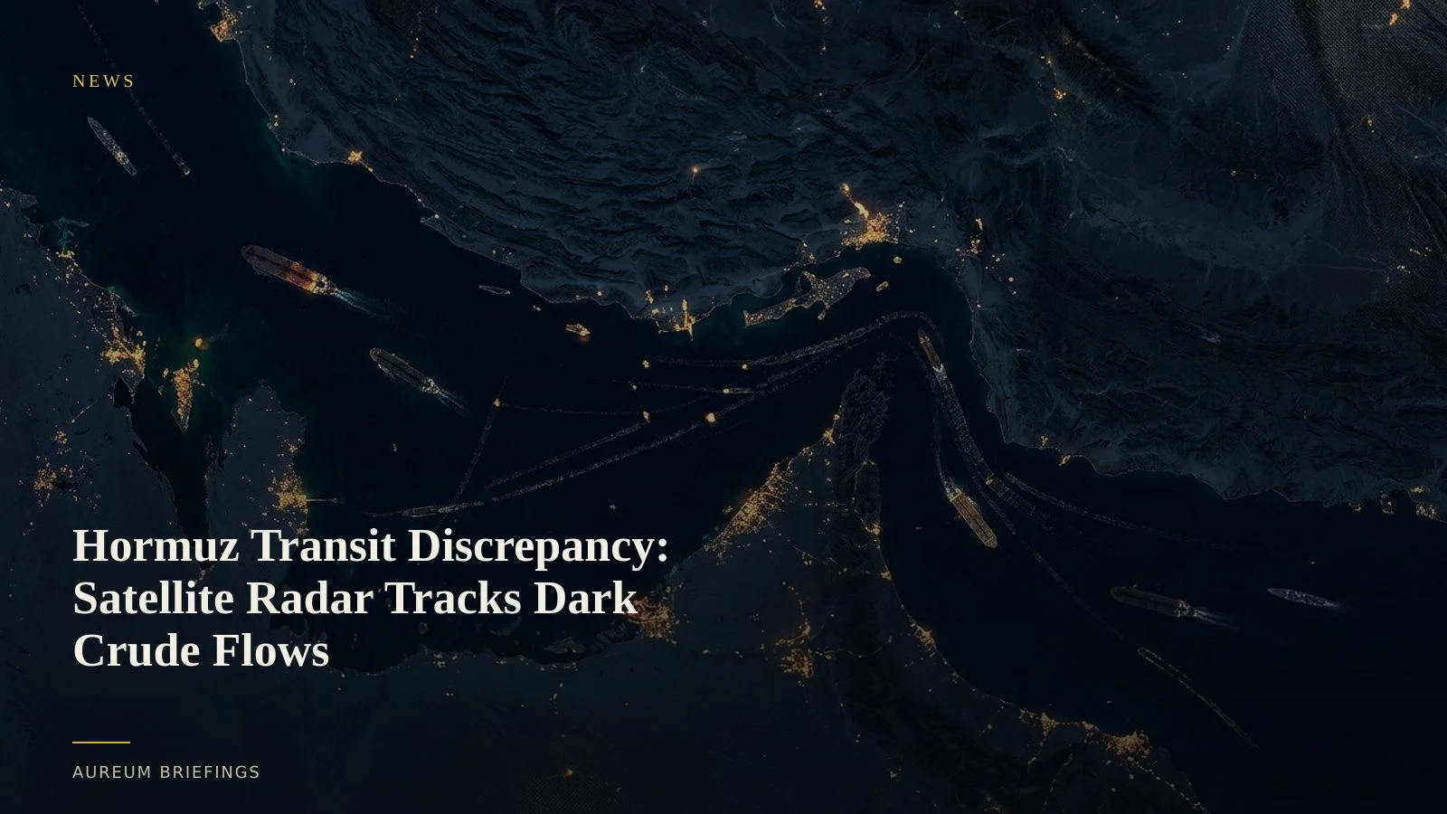
Official announcements claim 18 million barrels per day are moving through the Strait of Hormuz under naval protection, but public AIS tracking records only 11 to 12 visible transits a day. Synthetic aperture radar reveals how dark transits and Chinese trade flows alter the physical reality.
Official figures clash with visible vessel counts
Official statements released this week claim the Strait of Hormuz has effectively reopened, with up to 18 million barrels per day of crude and refined products crossing under naval escort, approaching pre-disruption baselines of 20 million barrels daily. However, commodity tracking services relying on Automatic Identification System (AIS) signals show a starkly different physical picture.
Data from maritime tracking providers like Kpler recorded only 11 visible commodity vessel transits on Tuesday, while Lloyd's List Intelligence observed roughly 12 transits per day throughout late August. This severe gap between official political claims and public vessel tracking has left crude desks debating whether energy markets are facing severe physical tightness or unrecorded dark transits.
When public position signals dark out across a warzone, relying solely on transponder broadcasts creates massive mispricing risks for energy traders.
Dark fleet transits and Chinese trade flows evade transponders
The massive discrepancy is largely explained by widespread AIS spoofing and transponder shutdowns. Tanker captains operating in high-risk zones routinely disable transponders to minimise target exposure or obscure sanctioned crude movements.
Crucially, trade flows bound for non-Western destinations continue under distinct operational parameters. Analysis from the Atlantic Council research team highlights how Chinese economic and diplomatic ties with regional exporters allow Chinese-flagged and Chinese-chartered crude carriers to navigate dangerous waters with reduced hostility risk, frequently doing so without broadcasting active AIS positions.
To verify these unflagged movements, satellite radar imagery provides unbiased observation. Synthetic Aperture Radar (SAR) sensors, such as those aboard ESA Copernicus Sentinel-1, emit microwave pulses that penetrate cloud cover and smoke, registering the physical radar cross-section of steel hulls on the water regardless of active transponder status.
How satellite radar measures physical chokepoint volume
Satellite verification of maritime chokepoints does not rely on visually identification of individual vessel flags in optical photos. Instead, SAR satellites pass over strategic corridors on repeating orbits, capturing consistent spatial snapshots of vessel density, heading, and draft.
By measuring vessel freeboard height, satellite radar indicates whether a supertanker is sitting low in the water fully loaded or riding high in ballast. When cross-referenced against official inventory drawdowns published in the EIA petroleum status report, these radar passes show whether crude is actually exiting regional loading terminals or stacking up in offshore anchorages.
Traders monitoring these physical passes can verify whether the 18 million bpd claim reflects actual waterborne crude movement or political signaling designed to calm futures markets.
Trading physical reality over headline sentiment
When headline narratives diverge from physical tracking, commodity futures experience extreme volatility. Traders who rely on unverified official announcements risk positioning for oversupply just as physical bottlenecks choke actual deliveries. Conversely, those relying strictly on public MarineTraffic AIS tracking risk overestimating supply destruction by missing dark fleet transits.
Using satellite-backed verification allows independent market participants to quantify actual physical volume through critical chokepoints without hiring an enterprise remote sensing department.
By combining spatial radar passes with verified terminal activity, market participants can price geopolitical risk based on observable physical evidence rather than competing headlines.
Track chokepoint flows with satellite intelligence
Private beta is open. Ask Earth a question with Query or follow hand-built Track boards on strategic maritime corridors.