News
Verifying Industrial Export Flows and Sanctions Compliance With Satellites
As European regulators scrutinise remaining industrial exposures and China maintains export momentum, satellite-backed analysis offers direct physical proof of trade flows before official reports publish.
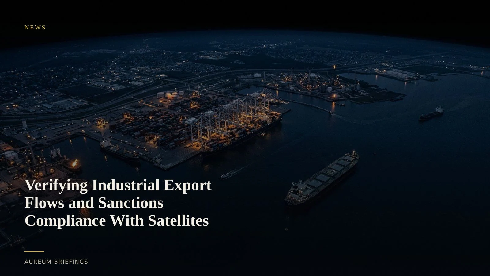
Regulators target hidden industrial exposures
European and British authorities are facing renewed pressure to expand sanctions enforcement across industrial supply chains. Policy analysts note that corporate subsidiaries and third-party intermediaries continue to facilitate trade, creating persistent blind spots in paper-based compliance frameworks.
Relying on official customs documentation or corporate filings creates significant delays for traders. Physical goods often move through transhipment hubs or grey-market routes weeks before trade statistics reflect the shifted activity. Confirming whether an industrial site or export terminal remains active requires direct observation.
China's industrial export push tests global freight capacity
Concurrently, China continues an export-focused strategy to support domestic industrial production. High-frequency physical indicators show steady factory output and heavy container staging at key eastern seaports despite broader macroeconomic headwinds.
When macro narratives conflict with ground reality, satellite evidence clarifies physical momentum. Satellite imagery reveals whether factory yards are stacking finished goods, whether bulk carriers are loading raw materials, or whether export staging yards are operating at capacity.
Measuring physical evidence across supply chains
Satellite-backed analysis replaces narrative speculation with observable baseline measurements. By examining optical imagery and synthetic aperture radar, analysts measure port yard density, track vessel berth occupancy, and monitor industrial thermal output across specific facilities.
When assessing sanctions enforcement on industrial trade, synthetic aperture radar penetrates cloud cover to verify vessel movements at northern terminals. Simultaneously, tracking export-focused manufacturing resilience provides early indications of raw material consumption and shipping queue build-ups.
Combining spatial measurements with historical baselines allows market participants to evaluate global commodity trade flows before public economic prints update.
Incorporating satellite intelligence into trading decisions
Institutional research desks have long utilised satellite surveillance to gain information advantages over retail traders. Aureum bridges this gap by delivering satellite-backed intelligence directly to independent market participants.
Through Aureum Query, users ask plain-English questions regarding specific industrial assets or trade corridors and receive verified physical evidence. For ongoing monitoring, Aureum Track provides hand-built KPI boards covering critical choke points and commodity hubs.
Verify physical trade signals before official prints
Join the private beta to ask satellite questions or follow hand-built Track boards across global trade routes.