Commodity Intelligence
Verifying Lithium Brine Evaporation and Refining Output With Satellites
Battery supply chain reports lag physical harvest cycles by months. Satellite imagery reveals brine pond activity and chemical processing shifts long before corporate releases hit the ticker.
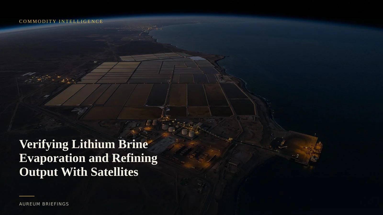
The physical footprint of lithium extraction
Lithium brine extraction across the Lithium Triangle in South America relies on vast solar evaporation ponds spanning thousands of hectares. Pumping lithium-rich groundwater into shallow basins starts a multi-month concentration cycle where water evaporates, shifting salt density and spectral signatures.
Traders tracking battery raw materials frequently face quarterly production updates that reflect past operating conditions rather than current physical throughput according to USGS Minerals Information Center benchmarks. When rain diluted brine concentrations or maintenance idled pumps, official filings took months to confirm the deficit.
Multi-spectral satellite observation measures physical pond surface area and color shifts across solar evaporation cycles. By analysing shortwave infrared and visible bands, analysts verify concentration stages across individual pond sequences in near-step with ground operations.
Spectral signatures and sensor selection
Tracking brine evaporation does not require expensive commercial sub-metre pointings for every basin pass. High-frequency open constellations like ESA Copernicus Sentinel-2 multispectral imagery provide 10-metre spatial resolution across key optical bands, ideal for mapping expansive surface water bodies and mineral precipitation.
When cloud cover or seasonal haze obscures high-altitude salt flats, synthetic aperture radar (SAR) cuts through atmospheric interference to measure pond surface roughness and water level bounds.
Long-baseline optical observations from USGS Landsat satellite archives allow historical comparison across multi-year evaporation cycles, establishing seasonal baselines for normal yield variations.
Connecting brine harvests to chemical refining
Concentrated brine is only the first stage of the supply chain. Transporting harvested lithium salts to chemical conversion plants for lithium carbonate or lithium hydroxide processing creates additional visible touchpoints.
Satellite imagery captures bulk material staging, outdoor stockpile volumes, and active transport logistics surrounding conversion facilities. Increased haulage vehicle density and raw material staging indicate active conversion throughput ahead of trade customs data.
Verifying the physical alignment between brine extraction and plant intake prevents false signals. If evaporation harvest expands but downstream refining yards remain stagnant, physical bottlenecks will restrict final battery-grade chemical supply.
Leveling the intelligence playing field for non-institutional traders
Historically, monitoring remote mining assets required dedicated satellite subscriptions costing six figures annually, accessible almost exclusively through an institutional commodity research desk.
DIY investors and independent analysts often fell back to free browser portals that presented static or outdated imagery without analytical context or historical baselines.
Aureum bridges this gap by delivering structured satellite-backed analysis and curated KPI tracking boards in minutes, giving individual traders direct visibility into physical supply shifts.
Track physical commodity cycles from space
Private beta is open. Follow hand-built Track boards on lithium ponds and critical industrial facilities, or query Earth directly.