News
Verifying Odesa Black Sea Port Disruptions With Satellites
Russian strikes are escalating pressure on Ukraine's primary Black Sea shipping hub. Satellite imagery provides physical evidence of terminal activity, vessel queues, and export disruptions before official trade prints update.
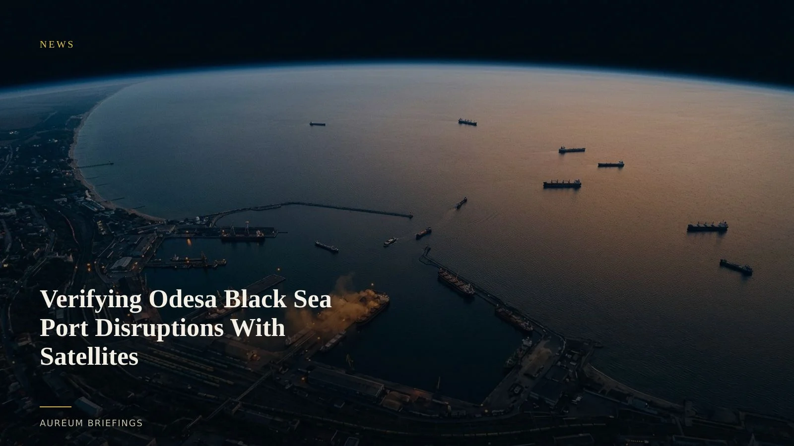
Black Sea maritime risk surges as Odesa targets multiply
Escalating drone and missile strikes against harbour infrastructure around Odesa threaten to isolate Ukraine's main maritime export gateway. According to recent analysis on Russian strikes targeting Odesa maritime infrastructure, targeted strikes on berths, grain elevators, and power supplies aim to render the harbour functionally landlocked.
Physical disruptions across critical trade bottlenecks trigger immediate shifts in maritime war risk insurance and freight rates. While markets factor in prolonged risk premiums across global maritime trade lanes, agricultural traders need site-specific physical confirmation to evaluate actual loading throughput at Black Sea terminals.
Reading terminal throughput beyond vessel transponders
When security threats rise in high-risk zones, commercial vessels frequently turn off AIS transponders or alter reported destinations to safeguard crew and cargo. Relying solely on public vessel transponder feeds leaves commodity traders blind to actual anchorage activity around Ukrainian terminals.
Synthetic Aperture Radar (SAR) and high-resolution optical imagery cut through cloud cover and transponder dark zones. By analysing radar reflections from hulls anchored off Odesa and Chornomorsk, analysts can measure anchorage density and confirm whether bulk carriers are alongside grain terminals.
Public remote sensing programs like ESA Copernicus Sentinel satellite imagery deliver regular observations over coastal corridors. Combining synthetic aperture radar with optical imagery allows traders to verify structural damage at storage complexes without relying on unverified social feeds.
Quantifying grain supply bottlenecks before official prints
Ukraine remains a vital global exporter of wheat, corn, and sunflower seed oil. When Black Sea ports face operational halts, international commodity futures react quickly, though market participants typically wait weeks for official shipment data from bodies like AMIS grain market monitoring.
Satellite-backed analysis bridges this reporting lag. By observing berth occupancy, barge transfers along alternative Danube river routes, and storage facility status, traders can verify whether grain exports are completely halted or simply redirected through secondary transport channels.
How Aureum confirms physical economy disruptions
Large institutional research desks pay substantial fees for proprietary satellite analytics and custom radar access. DIY investors and independent traders usually rely on free mapping software that displays dated imagery without analysis.
Aureum changes that dynamic. With Query, you can ask a plain-English question about a supported facility or port and receive a measured, satellite-backed answer with physical ground evidence.
When market shocks occur, you do not need to process raw satellite tiles or write geospatial code. Query delivers measured ground evidence when coverage lands, providing clarity before weekly market reports publish.
Confirm physical trade signals with satellite analysis
Private beta is open. Ask Earth a question, or follow hand-built Track boards on named trade corridors and industrial facilities.