Briefing
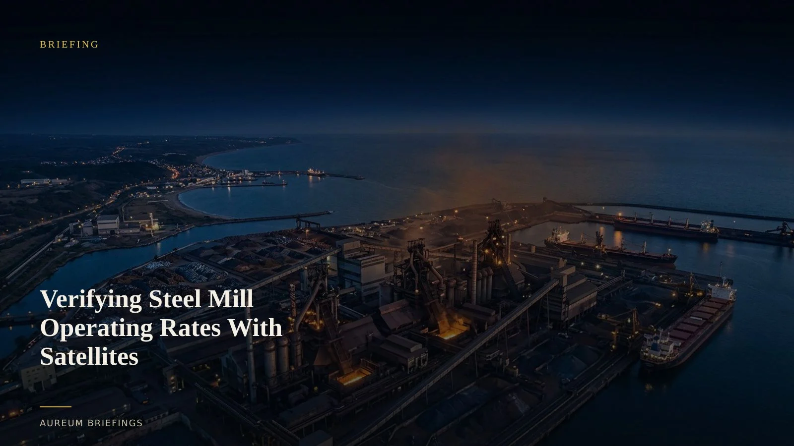
Verifying Steel Mill Operating Rates With Satellites
When regional industrial reports lag by weeks, satellite-backed analysis reveals blast furnace thermal patterns and scrap yard density before official prints hit the wire.
The gap between operational shifts and monthly data
Physical steel production drives scrap prices, iron ore imports, and metallurgical coal demand. Yet official production numbers arrive long after furnace runs change.
Traders tracking metal markets frequently rely on published trade association prints or customs releases. According to global crude steel production benchmarks, monthly output totals capture regional shifts, but they only confirm changes after contracts have settled.
Satellite-backed analysis bridges this gap by observing physical activity at major steelmaking complexes between official reporting windows.
What satellites actually see at a steel complex
Measuring industrial output from space does not require counting individual rebar bundles. It relies on multi-sensor physical indicators.
Blast furnace operations and basic oxygen furnaces generate concentrated heat. Using satellite thermal sensor detections, analysts track thermal anomalies to confirm whether melt shops remain active or undergo maintenance.
In parallel, optical imagery captures raw material staging yards. Shifts in iron ore piles, coke inventories, and scrap yard density provide physical confirmation of plant utilisation.
Why institutional tools left DIY traders behind
Historically, monitoring global heavy industry from space required massive capital. Large funds paid six-figure subscriptions to commercial satellite index providers for specialised feeds.
DIY investors and independent commodity traders without institutional research budgets were left using basic map viewers. These free tools provide static images that are often months out of date, making physical verification impossible.
Aureum changes this balance by providing direct satellite-backed evidence on demand without requiring a dedicated GIS team or complex raw dataset pipelines.
Building a satellite verification workflow for metals
Integrating satellite evidence into trading decisions starts with pinpointing key production clusters. For steel, focusing on major regional hubs yields high-signal data.
By leveraging open European satellite imagery archives alongside short-wave infrared optical sensors, analysts assess whether furnace flares correlate with raw material intake.
When news reports allege unexpected maintenance or environmental curtailments, satellite verification provides clear physical proof to confirm or refute market claims before prices adjust.
Verify physical industrial signals in minutes
Private beta is open. Ask Earth direct questions or monitor physical assets across global supply chains.