Industrial Intelligence
Verifying Heavy Industry Modernisation and Steel Plant Activity With Satellites
When steelmakers and industrial conglomerates announce sweeping AI and operational overhauls, satellite observation provides physical verification of site activity, raw material staging, and plant heat signatures.
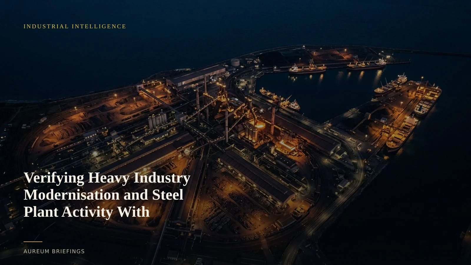
Corporate press releases vs physical steel output
Corporate announcements around industrial automation and value chain digital transformation often generate immediate market momentum. Steelmakers like Tata Steel frequently partner with technology providers to deploy enterprise-wide AI systems designed to optimise energy use and output across global operations.
However, market participants attempting to trade industrial commodities or equities cannot rely on software announcements alone. Operational efficiency and throughput improvements must eventually translate into physical reality, visible in raw material handling, furnace heat, and finished inventory yards.
Tracking whether major digitalisation projects actually boost capacity utilisation or reduce plant bottlenecks requires looking directly at the physical sites before official figures print.
Measuring furnace operations and scrap staging
Satellites do not monitor lines of code, but they do capture the physical footprints of heavy industry. Short-wave infrared and thermal bands from earth observation satellites track heat signatures from blast furnaces and electric arc furnaces to confirm operational status.
Optical imagery reveals raw material movement: slag heaps, coking coal piles, scrap metal staging yards, and coil storage at shipping terminals. Synthetic Aperture Radar (SAR) tracks vessel loading at dedicated port berths, providing an independent measure of export cadence regardless of cloud cover.
By correlating these physical metrics with broader worldsteel steel production data, traders gain an independent benchmark against corporate claims.
Separating digital narratives from material throughput
When industrial giants announce major operational overhauls such as the Tata Steel industrial AI rollout, equity and commodity markets often price in cost reductions and yield gains prematurely.
Independent verification helps separate long-term tech narratives from short-term physical reality. If a major steelmaker claims process optimisation, satellite analysis can confirm whether blast furnace uptime is actually increasing or if facility maintenance downtime is extending beyond reported schedules.
Comparing historical optical baselines from ESA Copernicus satellite observations against recent passes allows investors without a research desk to detect operational shifts before quarterly financial reports publish.
A direct verification process for DIY investors
Large institutional funds have long used satellite imagery to monitor heavy industrial activity and global supply chains. While commercial intelligence tools like SpaceKnow or Ursa Space provide institutional feeds at high costs, individual investors and independent analysts usually relied on lagging news releases.
Aureum bridges this gap by providing satellite-backed evidence directly through plain-English questions or hand-built monitoring boards. By using Query to inspect specific plant coordinates or Track to follow named industrial infrastructure, traders can evaluate physical supply trends directly.
Rather than guessing whether software upgrades are translating into tonnages, satellite observation lets you inspect the physical evidence directly when coverage lands.
Inspect physical industrial activity today
Private beta is open. Ask Earth a question about industrial plants or follow hand-built Track boards.