Ust-Luga crude berths
Verify Baltic crude export berths with satellite evidence.
For DIY investors evaluating Baltic oil flows. Query returns satellite-backed verification of berth occupancy and tanker staging at Ust-Luga.
Try a question
Ask about anywhere on Earth
The problem
Sanction noise and dark AIS signals cloud Baltic export reality.
AIS transponders go quiet.
Tankers operating in the Baltic frequently drop transponder signals, leaving loading status unclear.
Free maps are dated.
Standard mapping tools show historical snapshots that offer no insight into current berth throughput.
Triage takes hours.
Cross-referencing shipping headlines, maritime forums, and raw satellite imagery creates a tedious workflow.
Aureum's solution
Plain-English queries, grounded in satellite evidence.
Ask directly in plain text.
Type a query focused on Ust-Luga berths to analyse physical vessel presence without manual GIS processing.
Verify physical vessel alignment.
Confirm whether crude tankers are physically moored at loading arms or staging in outer anchorages.
Bypass signal manipulation.
Optical imagery reflects physical reality on the ground regardless of transponder status.
How it works
Audit Baltic crude berths in three steps.
Query the terminal.
Ask about loading status or anchorage density around Ust-Luga export facilities.
Review satellite evidence.
Examine satellite-backed imagery and vessel signatures from recent satellite passes.
Follow macro flows.
Follow existing hand-built boards on Aureum Track to monitor broader energy corridors.
Ask Earth about ust-luga crude berths.
A short walkthrough of Query for this job.
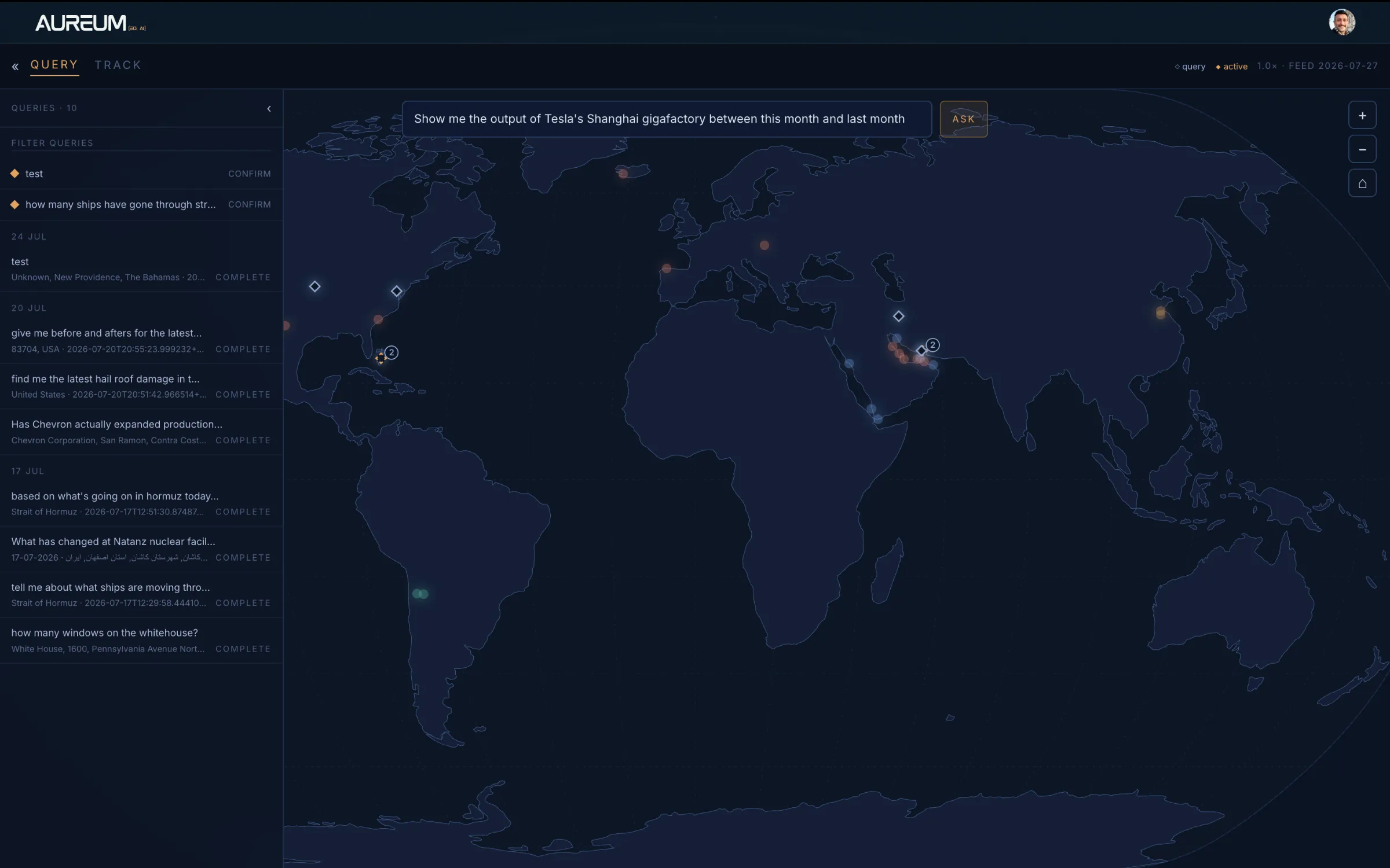
Query.
One composer. Anywhere on Earth. Evidence you can act on.
Use the arrows or the rail below to move through the tour.
Questions DIY investors ask about Ust-Luga verification
Verify Baltic crude flows with Earth evidence
Get private beta access to Aureum Query.