News
US Targets Iranian Tankers: Satellite Verification
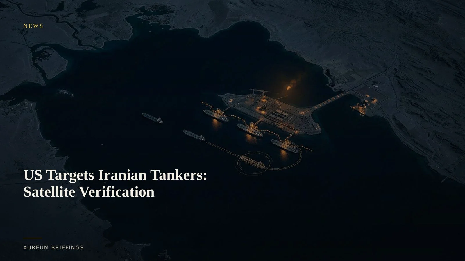
As fresh US military strikes hit Iranian maritime assets and send Brent crude past $95, satellite imagery reveals whether physical loading at key export terminals is halting or adapting.
Maritime strikes trigger market repricing
Oil markets surged after US Central Command launched targeted strikes against Iranian maritime assets, radar systems, and air defense sites. Following the escalation, oil prices rallied above $95 per barrel, with West Texas Intermediate trading past $91 and Brent gaining over 1% in early Asia sessions.
The military response follows renewed friction in strategic waterways, raising immediate concerns over Persian Gulf export security. With geopolitical tension expanding across multiple fronts, including expanding geopolitical security risks, commodity traders must separate headline alarm from physical supply disruptions.
Why transponder feeds go dark during military action
Automated Identification System (AIS) tracking becomes notoriously unreliable when state-backed dark fleets or targeted tankers enter contested waters. Vessels loading at Iranian terminals frequently disable AIS transponders or spoof location coordinates to evade sanctions and targeted enforcement.
Relying solely on AIS signals leaves traders blind during security shocks. While paper traders react to press releases, institutional operators look directly at primary infrastructure using orbital sensors to confirm actual vessel presence.
Measuring berth occupancy and dark fleet anchorage
Satellite-backed analysis cuts through signal manipulation. Using ESA Copernicus synthetic aperture radar, observers penetrate cloud cover and night skies to detect metallic hull signatures moored alongside export terminals like Kharg Island.
Comparing consecutive satellite passes allows traders to calculate physical berth occupancy rates and identify dark fleet staging at offshore anchorages. When combined with measuring crude oil storage via tank floating-roof shadow analysis, satellite evidence reveals whether crude is accumulating in onshore tanks or flowing onto waterborne supertankers.
This approach provides ground-truth clarity long before official EIA weekly petroleum status reports or customs disclosures capture altered trade routes.
Grounding commodity positions in physical reality
DIY investors and independent commodity traders often fall back on dated imagery tools or delayed news summaries when military strikes occur. Institutional traders pay premium fees for complex geospatial feeds to monitor dark fleet transfers, like those tracked in shadow fleet tanker sales.
Aureum bridges this gap by turning complex Earth observation data into actionable answers. Instead of guessing whether US strikes have choked Iranian oil exports, investors can use Query to inspect named facilities or follow hand-built Track boards monitoring key energy choke points.
Run the physical verification workflow
Ask Earth a plain-English question with Query, or follow hand-built Track boards on strategic infrastructure.