News
Maritime Chokepoints Under Siege: Tracking Global Trade Disruptions With Radar Satellites
Drone attacks and military blockades across the Strait of Hormuz, Bab el-Mandeb, and the Black Sea are forcing global shipping to reroute. Here is how space-borne radar verifies real physical flows behind the headlines.
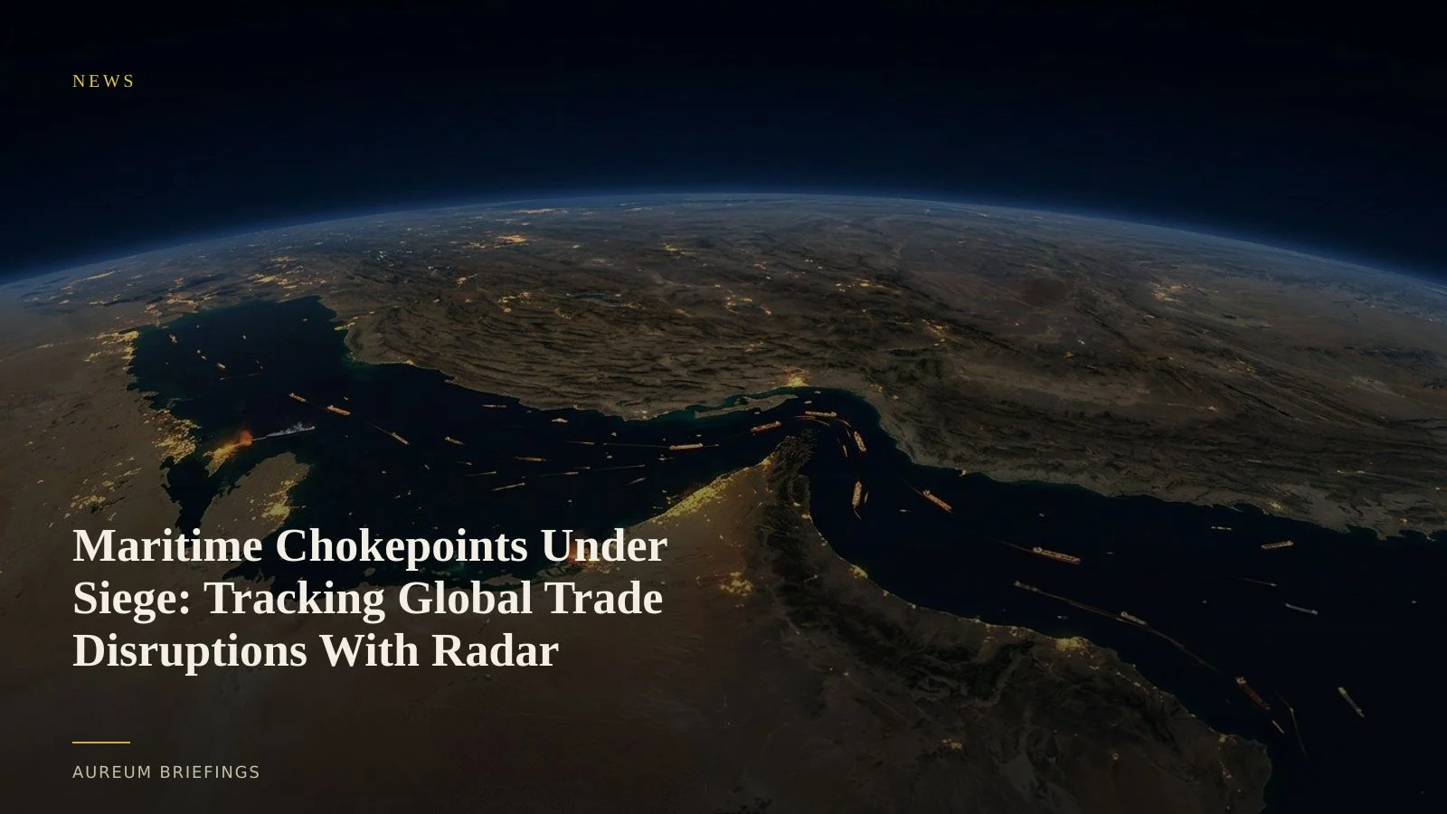
A new phase of maritime trade disruption
Fresh military strikes in the Middle East and drone attacks across vital maritime corridors have placed three of the world's most critical trade chokepoints under severe strain. Recent reports detailing maritime shipping risks in critical waterways highlight growing threats around the Strait of Hormuz and the Black Sea, while Houthi forces have launched strikes against Saudi oil infrastructure supplying the Red Sea export hub of Yanbu according to recent news coverage on Middle East regional conflict.
With over 80% of global merchandise moving by sea, these disruptions directly compress energy and industrial supply lines. Freight rates and marine insurance premiums are surging as vessel operators weigh costly rerouting options around the Cape of Good Hope or navigate hazardous waters.
Why standard tracking falls short when vessels go dark
Traders relying solely on terrestrial transponder feeds face growing blind spots. While automatic identification system tracking requirements are mandatory for commercial vessels over 300 gross tonnes, captains routinely turn off transponders when traversing contested corridors to avoid targeting or hide non-compliant voyages.
This intentional signal loss creates a visibility gap precisely when physical supply data matters most. Knowing whether crude is actually moving through the Red Sea or accumulating in offshore anchorage requires direct observation from space rather than relying on self-reported radio signals.
Cutting through clouds and darkness with SAR
Space-borne radar provides the primary counter-measure against dark shipping. As detailed in technical data for Copernicus synthetic aperture radar satellites, C-band radar transmits microwave pulses that penetrate cloud cover, smoke, and nighttime darkness to image ocean surfaces continuously.
Metallic vessel hulls reflect radar signals strongly against the darker background of ocean water. Cross-referencing high-cadence radar passes with satellite AIS allows analysts to identify unlisted vessels, detect ship-to-ship transfers, and measure true vessel counts in bottleneck zones regardless of weather conditions.
Translating physical observations into market decisions
Without a specialised internal remote-sensing team, evaluating geopolitical news often meant waiting for official supply reports or relying on speculative social chatter. Integrating satellite-backed physical evidence transforms how investors manage commodity exposure during crises.
When headlines break regarding a chokepoint blockade, using Query lets you verify actual vessel movements when the next pass lands, while Track maintains hand-built watchlists over key transit hubs like Hormuz and Bab el-Mandeb to show when physical flows shift on the next board update.
Verify physical trade flows before the market moves
Free to join during the beta. Ask Earth a question with Query, or follow Track boards on strategic maritime chokepoints.