Free tool
How often is Google Earth updated?
And how to see a newer free picture of any place
There is no fixed schedule. Google's Earth help guide puts the average age of the imagery at one to three years, and Google has said it tries to refresh big cities about every year, medium-sized cities every two years and smaller cities every three. Free satellites pass over most places every few days: check yours below.
Free satellite image date checker
When was your place last photographed from space?
Type a place, an address or coordinates. You get the newest free satellite picture of that exact spot, whether the sky was clear or cloudy there, and when the next one is due.
The check runs in your browser against the public ESA and USGS catalogues. Nothing is stored.
Pass dates come from the public Copernicus Sentinel-2, Sentinel-1 and USGS Landsat catalogues, searched through Element 84's free Earth Search. The cloud check reads the scene classification ESA publishes with every Sentinel-2 picture, at 20 m, around your spot. Next passes follow each satellite's repeat cycle and can be skipped. Place search © OpenStreetMap contributors.
Google Earth update frequency, in Google's words
Google does not publish an update schedule for Google Earth. Its help centre says the pictures are collected over time from providers and platforms, so they are not live and you will not see changes as they happen (Google Earth Help).
| What Google has said | Where, and when | |
|---|---|---|
| Average age of the pictures | One to three years; some older, some newer, depending on what Google's suppliers can provide | Google Earth community guide, updated 11 Aug 2026 |
| Big cities | Google tries to update the satellite pictures every year | Google blog, 5 Oct 2020 |
| Medium-sized cities | Google tries to update them every two years | Google blog, 5 Oct 2020 |
| Smaller cities | Up to every three years | Google blog, 5 Oct 2020 |
| Building sites | Refreshed more often where there is lots of building or road construction | Google blog, 5 Oct 2020 |
| A timetable | There is no set schedule, and Google does not release information about future updates | Google Earth community, 21 Jul 2025 |
What you see is a mosaic. Pictures taken over several days or months are stitched into one seamless view, so the date can change as you move across the map. When a provider supplies only a date range, Google Earth shows the oldest date in it, so the date shown is never newer than the picture (Google Earth Help).
Why the numbers you read online disagree
Search for this question and you will meet schedules that contradict each other: big cities every six to twelve months, rural areas every five to ten years, new imagery every month. The popular articles that print them, and search answers that repeat them, do not point to a Google source for those bands. The figures Google itself has given are the ones in the table above.
How to see the date of a Google Earth image
Google Earth shows the date of the picture under your cursor where its supplier gave one. Where to look depends on which Google Earth you use, as Google's imagery guide describes (Google Earth community guide).
Google Earth Pro on a computer
Look at the right-hand end of the bottom status bar. The date at the left of the bar, often 1985, is the oldest picture available there, not the one on screen.
For other dates, click the clock icon in the top toolbar and move the time slider at the top left.
Google Earth in a web browser
Move your cursor over the place and look in the bottom status bar, or click Data attribution in that bar.
For other dates, click the clock icon, or choose Historical imagery in the layers behind the map thumbnail at the bottom left.
Google Earth on a phone or tablet
Open the layers behind the map thumbnail at the top right, choose Historical imagery, and use the arrows or the time slider.
Google's help says the imagery-date readout is not available on Android.
Turn off 3D buildings
With 3D Buildings switched on, Google Earth shows no date at all, because those pictures come from several dates (Google Earth Help).
Check the right-hand end of the time slider too. Google's guide notes that historical imagery occasionally holds a newer picture than the default view. On the slider, a date means the pictures were captured on or before that day.
How often does Google Maps update satellite images?
Google describes one mosaic of satellite and aerial photographs behind both Google Maps and Google Earth, sourced from many providers, including state agencies, geological surveys and commercial imagery companies (Google blog, 2020). So the answer is the same: no fixed schedule, with pictures that are on average one to three years old, and big cities refreshed more often than small ones.
Google Maps does not tell you when its satellite picture was taken. The year in the bottom corner is a copyright notice for the product, not the date of the photograph, as Google Maps Product Experts have explained (Google Maps community). To find the date, open the same spot in Google Earth.
How often does Apple Maps update satellite images?
Apple does not publish an update schedule for its satellite pictures, and Apple Maps does not show when they were taken. Apple's image-collection page is about its ground surveys and Look Around pictures, which it says it may revisit to keep the map up to date (Apple). The same goes for Bing Maps: Microsoft documents date ranges in a developer service, but no update interval.
If the question is how recent a picture of a place can be, the free satellites in the next sections answer it for any map: the checker at the top of this page shows the newest pass over your spot.
When will Google Earth update my area?
Nobody outside Google can say. There is no set schedule, and Google does not release information about future updates. You can suggest one: on Google Earth for the web the request sits in the Help menu, and on a phone behind your profile picture, where you draw the area and choose satellite, 3D or Street View. Google's imagery guide is clear that any request is only a suggestion, with no guarantee the area will be updated soon (Google Earth community guide).
If you want to see a place as it looks now, a free satellite picture from the last few days is almost always there, at lower detail. Check your place to see the newest pass, whether it was clear, and when the next one is due.
Why are Google Earth images so old?
- Sharp pictures are collected, not streamed. Google sources its aerial and satellite pictures from many providers, from state agencies to commercial imagery companies, and stitches pictures taken over days or months into one mosaic (Google blog, 2020).
- Cloud gets in the way. One study reported by NASA's Earth Observatory estimated that about 67% of Earth's surface is typically covered by cloud (NASA, 2015).
- Pictures are cleaned before use. Since September 2024 Google has used its Cloud Score+ AI model to remove clouds, cloud shadow, haze and mist from imagery in Earth and Maps (Google blog).
- Fresh and sharp rarely come together. Free satellites photograph most land every few days, but at 10 metres a pixel: enough for buildings, roads and fields, not cars or gardens.
Seeing a picture is not the same as reading it
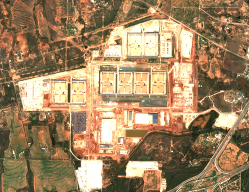
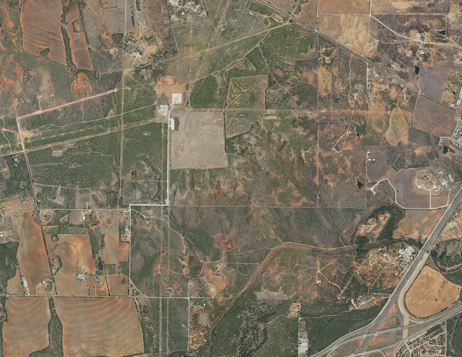
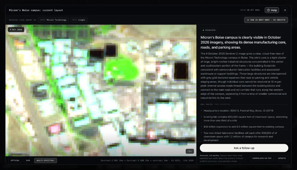
At 10 metres a pixel, a car park, a building site and a field of solar panels can look much alike unless you know what to look for, and the free viewers leave that part to you. Aureum does the reading. Ask about a place in plain English and you get a dated answer that says what the newest clear picture shows, what the reporting adds, and what 10 m cannot resolve. Ask about a place.
How to see more recent satellite images than Google, free
Public satellites photograph the whole planet on a schedule and publish everything free. Their pictures are less sharp than Google's, but they are days old rather than years.
| Detail | How often | Where to see it | |
|---|---|---|---|
| Sentinel-2 (ESA) | 10 m pixels | Every 2 to 3 days at mid-latitudes, 5 at the equator | Copernicus Browser, free |
| Landsat 8 and 9 (USGS, NASA) | 30 m (15 m in black and white) | Every 8 days with both satellites | USGS EarthExplorer, free |
| Sentinel-1 radar (ESA) | Radar, not a photograph | Every 6 days at the equator with two satellites, day or night, through cloud | Copernicus Browser, free |
| NAIP aerial (USDA, US only) | 60 cm | Every 3 years or sooner | USGS EarthExplorer, public domain |
| Esri World Imagery Wayback | Sharp aerial and satellite pictures | New content about once a month; past versions kept | Esri Wayback, free to view |
| PlanetScope (Planet) | About 3 m | Near-daily | Paid, from Planet |
Sources: Copernicus for Sentinel-2's revisit, USGS for Landsat, ESA for Sentinel-1, USGS EROS for NAIP, Esri for World Imagery and Planet for PlanetScope.
Three satellites, one picture every few days
Sentinel-2 is the workhorse. Each satellite passes the same ground track every 10 days, and two together give a pass every five days at the equator and every two to three days at mid-latitudes. Sentinel-2B and Sentinel-2C are the main pair; Sentinel-2C took over from Sentinel-2A on 21 January 2025, and Sentinel-2A keeps imaging in an extension campaign through 31 December 2027 (Copernicus). They cross the equator at about 10:30 in the morning, local time.
For dates of the sharp pictures in Esri's maps, Esri's Wayback app shows each published version of World Imagery, and clicking a spot shows the capture date of the picture there (Esri).
Free pictures are the easy part
The free viewers are built for specialists. You choose the satellite, the date, the cloud filter and the colour bands, then work out what you are looking at. And a picture is only half an answer. Knowing what changed at a port, a mine or a data center usually means a stack of tabs: Google Earth for the sharp picture from years ago, a satellite viewer for this week's coarser one, the news for what happened, company filings for what was promised, and a price chart for what it might mean.
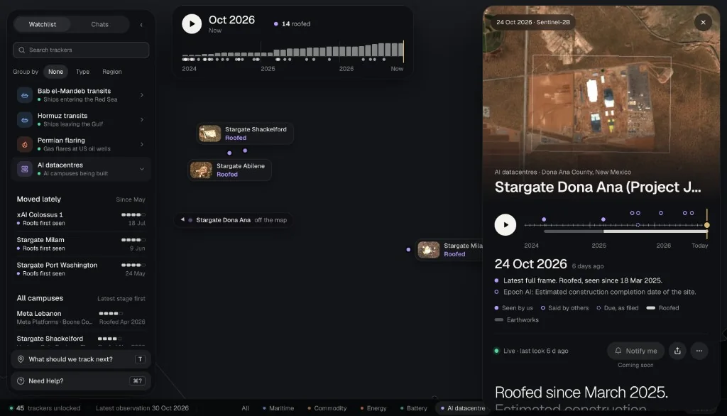
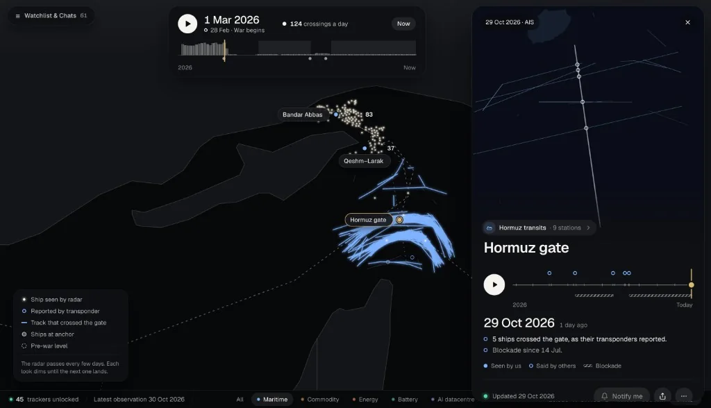
Aureum puts that in one place. Ask a question about a site and it reads the newest clear passes, adds the reporting and answers in plain English, with the dated pictures attached. For places worth watching, Track keeps hand-built boards, such as AI data center campuses and Strait of Hormuz transits, with a reading after each clear pass. Try it on a place you care about.
Recent satellite images of your house: what this checker shows
- Where the dates come from. Each check searches the public catalogues of ESA's Sentinel-2 and Sentinel-1 and the USGS Landsat 8 and 9 missions, through Element 84's free Earth Search service: a year of optical passes and the last few weeks of radar.
- Clear or cloudy. For each recent Sentinel-2 pass, it reads the scene classification that ESA publishes with every picture, at 20 m, in a 60 m square around your spot, and calls the spot clear, partly cloudy or cloudy.
- The next pass. Each Sentinel-2 satellite repeats its track every 10 days and each Landsat every 16, so the checker adds those cycles to the last passes it found. A satellite can skip a pass: treat the dates as expected, not promised.
- What 10 m shows. Buildings, roads, fields, water and building sites. Not cars, people or garden detail.
- Not a forecast. The cloud figures describe past passes. They do not say whether the next one will be clear.
- Privacy. The check runs in your browser and we store nothing. Your coordinates go to the public catalogue to find passes; place searches go through our cache to OpenStreetMap.
A date is where the question starts. If you need to know what changed, whether a site is being built, a port is busy or a field has been cleared, ask Aureum and get the newest passes read for you. See how Query works, or see dated passes at work in the AI data center guide and the Strait of Hormuz tracker.
Google Earth updates: questions and answers
Skip the tabs. Ask about the place.
Aureum reads the newest satellite passes over a place, adds the reporting, and answers in plain English, with the dated pictures attached. Free to join.