News
European Heatwave Cuts Refinery and Power Output: Satellite Verification
Sustained temperatures exceeding 40°C are shrinking European rivers and choking cooling systems across central refineries and nuclear power stations. Here is how satellite intelligence confirms ground reality.
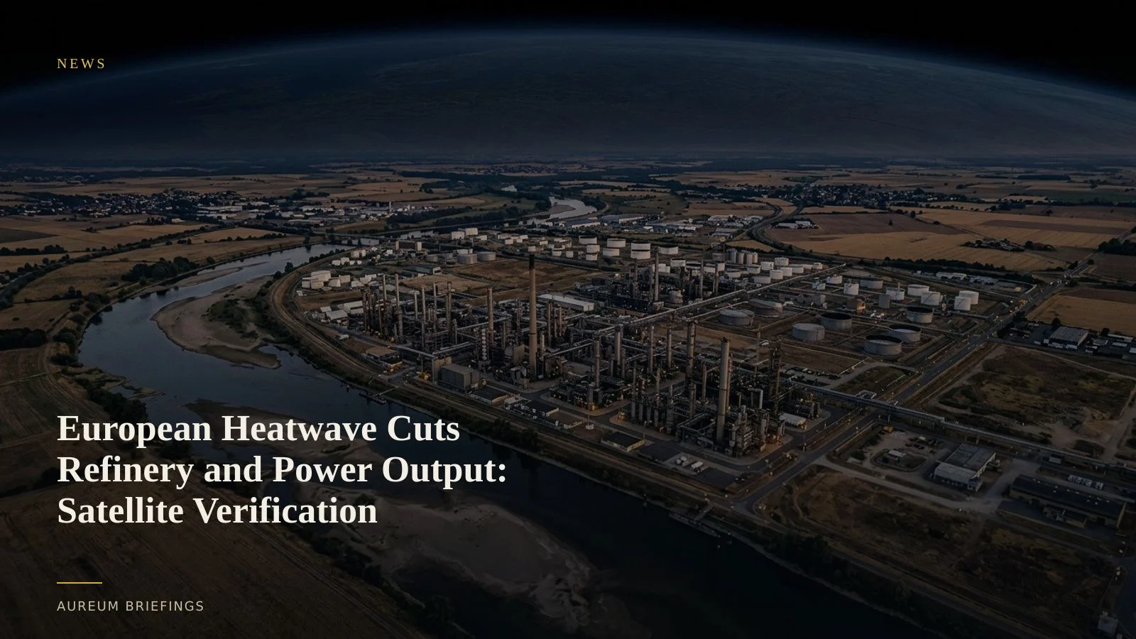
Thermal stress forces European energy infrastructure to throttle back
A severe summer heatwave across southern and central Europe is hitting physical energy systems simultaneously. Major downstream crude refineries are suffering reduced cooling efficiency, forcing operators to lower throughput to stay within environmental discharge limits.
At the same time, record atmospheric temperatures and dropping river basins are impairing inland power generation. Nuclear power stations along major European rivers are curtailing electrical output because ambient water temperatures are too warm to absorb plant heat without violating environmental regulations.
Concurrently, falling hydro reservoirs and reduced river drafts along vital inland channels like the Rhine are forcing transport barges to load at a fraction of normal capacity, compounding regional middle-distillate supply tightness.
Why high water temperatures choke downstream capacity
Crude oil processing and thermal power generation depend heavily on continuous water intakes to condense steam and cool process streams. When river water temperature climbs past operational thresholds, facility safety controls automatically mandate capacity reductions.
In addition, low water levels directly reduce river depth. Heavy fuel oil and gasoil barges navigating key inland logistics corridors must reduce deadweight to avoid grounding. This increases freight costs per tonne and creates regional delivery bottlenecks for inland depots.
Using thermal and optical imagery to confirm physical curtailments
Traders tracking regional energy cracks do not need to rely solely on delayed operator press releases or weekly regional stock updates. Thermal infrared sensors from ESA Copernicus Earth observation satellites capture surface temperature signatures at industrial water discharge points.
When a power station or refinery throttles back output, the thermal plume in adjacent river water cools significantly relative to baseline runs. Satellite radar and high-resolution optical imagery simultaneously track river channel width and barge stack heights, providing direct physical confirmation of inland waterway draft constraints.
Cross-referencing these physical signatures against European storage balances published on GIE AGSI+ gas storage prints allows market participants to assess whether power generators are forced to burn additional natural gas to cover nuclear and hydro deficits.
Translating physical heat stress into actionable market setup
When river logistics degrade and power station output drops, regional price spreads adjust rapidly. Refinery run cuts lower regional product yields, driving up regional diesel and gasoline crack margins, while elevated power burn increases short-term gas demand.
Rather than waiting for monthly industrial production releases or delayed power grid summaries, monitoring physical cooling signatures and river vessel activity gives traders immediate ground-truth clarity.
Combining optical water boundary changes with satellite thermal readings creates a reliable framework to evaluate whether facility slowdowns are brief maintenance adjustments or prolonged structural capacity cuts forced by environmental stress.
Verify physical energy shocks with Aureum
Join the beta. Ask Earth about European industrial assets, or follow Track boards on named energy corridors.