News
Hormuz and Bab el-Mandeb Tanker Traffic Stalls as Radar Tracks Chokepoints
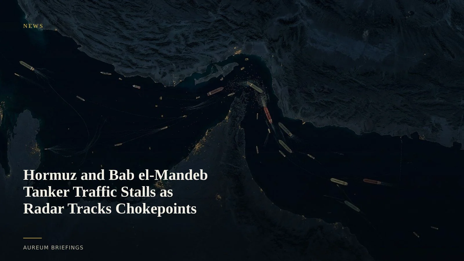
Vessel transits across core Middle East energy routes remain severely depressed. Synthetic aperture radar provides ground truth on physical traffic while container rates adjust to longer detours.
Dual chokepoint transits slow to historic lows
Vessel movement through primary Middle East shipping corridors remains sharply depressed as geopolitical tensions escalate. Recent tracking indicates barely 15 commercial vessels passed through the Strait of Hormuz across a 24-hour period, according to reporting on Strait of Hormuz vessel tracking, confirming that physical crude flows face major friction.
At the same time, security concerns have intensified around southern maritime access routes. Energy flows through the Red Sea face compounding delays as Bab el-Mandeb shipping disruptions push crude tankers and dry bulk carriers to hold berth or reroute around the Cape of Good Hope.
Verifying physical hull count through spaceborne radar
When commercial transponders are switched off or signal gaps increase during active conflict, traditional vessel tracking cannot paint a full picture. Confirming ship presence through atmospheric cover and night passes requires active microwave imagery.
By utilising Sentinel-1 synthetic aperture radar datasets, orbital sensors reflect signals off metallic structures to map vessel positions regardless of cloud cover or location spoofing. This offers independent confirmation of whether fleets are queuing outside narrow channels or proceeding through the passage.
Freight indices adjust to rerouting costs
Container and tanker markets are absorbing the financial fallout of extended sea routes. Logistics data from Drewry container freight indices highlights surging spot rates and an uptick in cancelled sailings as ocean carriers reorganise schedules to accommodate circuitous routes.
Freight benchmarks record contract terms signed after bottlenecks form, whereas satellite radar detects physical accumulation when the next pass lands. Traders relying exclusively on weekly published surveys miss early inflection points as tankers gather outside restricted straits.
Direct ground truth without specialist infrastructure
Evaluating real-world operational disruptions does not require an internal remote-sensing team. Institutional funds previously relied on dedicated imagery analysts, but modern satellite tracking delivers direct physical visibility to every market participant.
With Aureum, you can verify whether geopolitical news translates into actual physical shipping stalls or temporary headlines. Combining synthetic aperture radar observations with automated watchlist updates provides tangible evidence to validate your positions.
Verify physical flow before the market prices it
Free to join during the beta. Track maritime corridors or query satellite observations directly.