News
Hormuz Closure and Red Sea Dark Tankers: Verifying Crude Flow
As military escalation shuts down transits through the Strait of Hormuz and forces Red Sea vessels off AIS, satellite radar cuts through signal blackout.
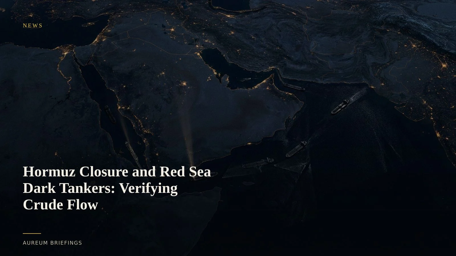
Signals go dark across key energy corridors
Transits through the Strait of Hormuz have dropped sharply following strikes on regional energy infrastructure and threats against commercial shipping. Major container carriers and oil majors have suspended standard routes, turning vessels around or idling off coastal waters.
At the same time, automatic identification system (AIS) transponders are going dark across both Hormuz and the Bab el-Mandeb strait. Tankers frequently disable radio broadcasts or face intense GNSS spoofing, leaving digital vessel trackers blind across passages that handle over 20 percent of global seaborne petroleum.
When transponder feeds vanish, paper crude prices quickly split from physical supply reality. Traders relying on public vessel feeds face an informational vacuum exactly when market volatility spikes.
The limits of open intelligence aggregation
Retail investors often turn to open data platforms and public OSINT dashboards to monitor geopolitical events. These tools synthesize public news, flight radars, and maritime feeds into unified maps.
While useful for situational awareness, public feeds rely heavily on active radio broadcasts and thermal detections like NASA FIRMS satellite thermal detections. Thermal sensors highlight flaring and kinetic strikes, but they cannot count dark crude carriers moving through maritime mist or night clouds.
To verify whether physical volume is moving or choked, traders need structural imaging that operates independent of weather, daylight, or shipboard transponders.
Verifying physical hulls with satellite radar
Synthetic aperture radar (SAR) provides the critical verification layer when optical satellites encounter cloud cover or darkness. By emitting microwave signals and measuring the reflection back to orbit, SAR images metallic ship hulls regardless of cloud density or atmospheric haze.
Large institutions can afford commercial SAR tasking from vendors like ICEYE; DIY and individual investors usually cannot. Open Sentinel-1 passes still help estimate vessel density inside restricted channels, showing whether a tanker route looks blocked, busy, or quiet without relying on AIS alone.
Radar does not rely on permission or active ship broadcasts. If a 300-metre crude carrier is sitting off Fujairah or navigating the strait in darkness, the radar backscatter returns a distinct geometric signature.
Connecting physical verification to market positions
Trading commodity disruptions without a research team usually leaves investors reacting hours behind headline wires. Official supply tallies like weekly EIA crude inventory reports take days or weeks to reflect physical chokepoint delays.
By combining open intelligence inputs with radar-backed vessel counts, investors obtain physical certainty before macro commentary catches up. Seeing whether tankers are actually completing transits or queuing in deep water allows for calibrated risk management.
As geopolitical friction transforms key transit corridors, direct physical observation remains the single reliable check against headline noise and dark radio signals.
Follow chokepoint Track boards
Access satellite-backed physical economy intelligence. Follow Track boards on critical shipping lanes and inventory nodes without GIS complexity.