News
Red Sea Maritime Coalition Assembles as Houthi Toll Demands Split Shipping Lanes
Saudi Arabia leads a multi-nation naval initiative to secure the Bab el-Mandeb Strait, while satellite radar and AIS tracking reveal a multi-tier transit corridor where select bulkers pass freely and crude flows face ongoing friction.
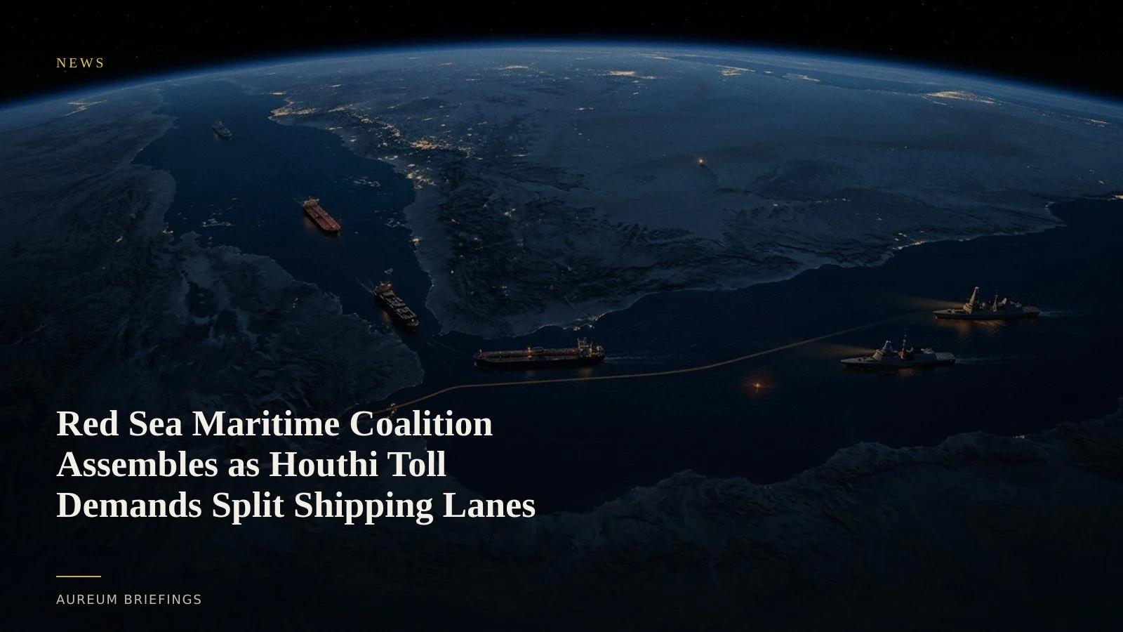
Saudi Arabia rallies naval coalition amid Red Sea energy bypass friction
Escalating maritime tensions in the Middle East have forced Saudi Arabia to route a larger share of its crude oil exports west toward the Red Sea port of Yanbu. However, securing the southern exit through the Bab el-Mandeb Strait remains a major vulnerability. The Saudi defence ministry recently convened representatives from dozens of nations to establish a joint Saudi coalition to protect Red Sea shipping.
This diplomatic initiative follows coalition airstrikes against military positions in Hodeidah and reports that local forces intend to levy transit fees on commercial traffic. With up to 25 percent of global oil and gas trade routed through these chokepoints, supply chain risk is splitting into distinct operational categories.
AIS disclosures reveal split rules for transiting vessels
Commercial transits through the Bab el-Mandeb Strait are no longer uniform. Recent vessel tracking reports show that Chinese-flagged bulk carriers are executing unhindered full passages from China to Saudi ports under active safe-passage arrangements.
Data gathered from AIS vessel tracking networks and maritime security firms indicates these ships maintain full broadcast transparency without dark activity or course deviations. Conversely, Western-linked crude tankers and container vessels face persistent threats, prompting many operators to evaluate costly detours around the Cape of Good Hope.
Cross-verifying vessel movements with C-band radar
When ships switch off transponders to mask destinations or avoid targeting, automated radio broadcasts fail. Verifying physical vessel positions requires space-based remote sensing.
Constellations operating C-band synthetic aperture radar beam microwave signals through clouds, smoke, and nighttime darkness to capture clear structural reflections. By pairing satellite radar passes with AIS feeds, analysts can immediately spot dark tankers, measure port queuing near Yanbu, and verify whether traffic volume aligns with official security announcements.
Moving from delayed headlines to direct physical observation
Relying solely on headline news or official statements leaves commodity positions vulnerable to sudden shifts in sentiment. When political conflict threatens shipping lanes, the core trading question is physical: are crude volumes actually moving through the strait?
Without an internal research desk, traders historically had to wait for delayed weekly broker reports. Aureum provides continuous satellite-backed tracking, allowing investors to verify red sea crude rerouting and asset flows directly from verified satellite imagery.
Monitor global energy corridors before the market adjusts
Free to join during the beta. Follow Track boards on critical chokepoints, or ask Earth a direct spatial question.