News
Red Sea Tanker Traffic Goes AIS-Dark Amid Houthi Threats
Tanker traffic through the Bab el-Mandeb Strait has fallen to multi-month lows. Saudi Arabia is re-routing crude, and vessels are increasingly switching off their Automatic Identification System (AIS) transponders.
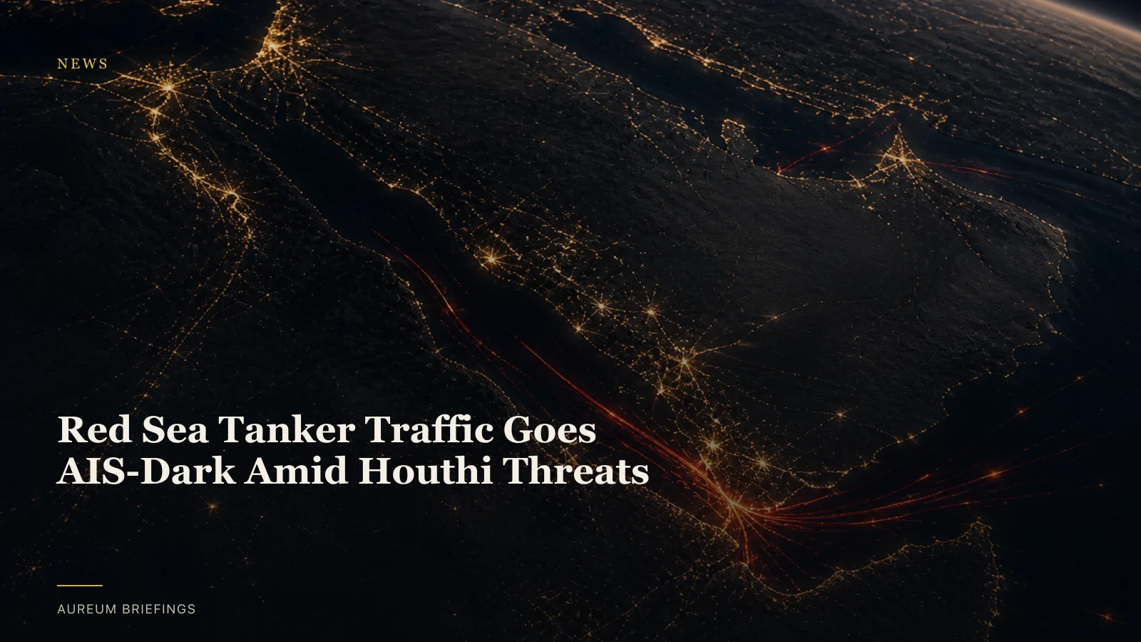
Red Sea Tanker Traffic Plummets
Recent Houthi threats and attacks on shipping in the southern Red Sea and Bab el-Mandeb Strait have significantly impacted maritime trade. Tanker traffic through this critical chokepoint has slumped to a multi-month low, according to recent reports.
Saudi Arabia, a major crude oil exporter, is re-routing its export tactics. Empty supertankers are now en route to Egypt’s Sidi Kerir port to pick up Saudi crude, avoiding direct transit through the high-risk zone.
This disruption affects a waterway that historically carries a substantial share of global oil and refined product trade. The shift indicates escalating risks for energy shipments.
Vessels Go Dark to Avoid Detection
Adding to the complexity, some vessels are now actively avoiding detection. At least one oil tanker carrying Saudi crude recently transited the Bab el-Mandeb Strait with its transponder switched off.
Maritime intelligence notes that Yanbu port has transitioned from predominantly AIS-active to entirely AIS-dark tanker operations at berth. This is a direct response to vessels shielding against potential targeting.
While public AIS maps provide a near-live picture of global commercial shipping, they rely on vessels broadcasting their identity and position. When transponders are intentionally switched off, these traditional tracking methods are blind.
Satellite Imagery Confirms Physical Flows
The shift to AIS-dark operations underscores the need for independent verification of physical commodity flows. Satellite imagery offers a crucial alternative to confirm vessel activity and port status, even when transponders are off.
Synthetic Aperture Radar (SAR) satellites can penetrate clouds and darkness, providing all-weather, all-day monitoring of maritime activity. Optical satellites offer high-resolution views of port congestion and vessel presence.
This satellite-backed analysis allows investors to observe actual changes on the ground and at sea, bypassing the limitations of self-reported or publicly broadcast data that can be manipulated or intentionally obscured.
Why This Matters for Investors
Disruptions in major chokepoints like the Bab el-Mandeb Strait have immediate implications for oil prices, shipping rates, and global energy security. The ability to independently verify vessel movements and port activity is critical for informed decisions.
Investors tracking energy and commodity markets need to understand actual supply chain conditions, not just reported figures or news headlines. The gap created by AIS-dark vessels introduces significant uncertainty.
By leveraging satellite intelligence, DIY and retail investors can gain an edge, monitoring physical changes that impact market fundamentals before they are fully priced in.
Monitor Chokepoints with Aureum
For investors seeking to understand the real-world impact of these disruptions, Aureum provides direct access to satellite-backed analysis.
Use Aureum Query to ask specific questions about vessel activity in the Red Sea, port congestion at Sidi Kerir, or the status of other critical chokepoints. Get a clear answer with supporting satellite evidence, without needing a GIS team.
Follow Track boards on key maritime corridors, oil terminals, and alternative shipping routes. Hand-built KPI boards update as new coverage lands, so you stay ahead of market shifts.
Gain an Edge with Satellite Intelligence
Understand the physical economy before it hits the headlines. Ask Earth a question, or follow hand-built Track boards on named sites.