Briefing
Verifying Physical Assets Amid Synthetic Imagery
When consumer AI tools can generate convincing fake aerial views in seconds, market participants need verified earth observation to confirm what is actually happening on the ground.
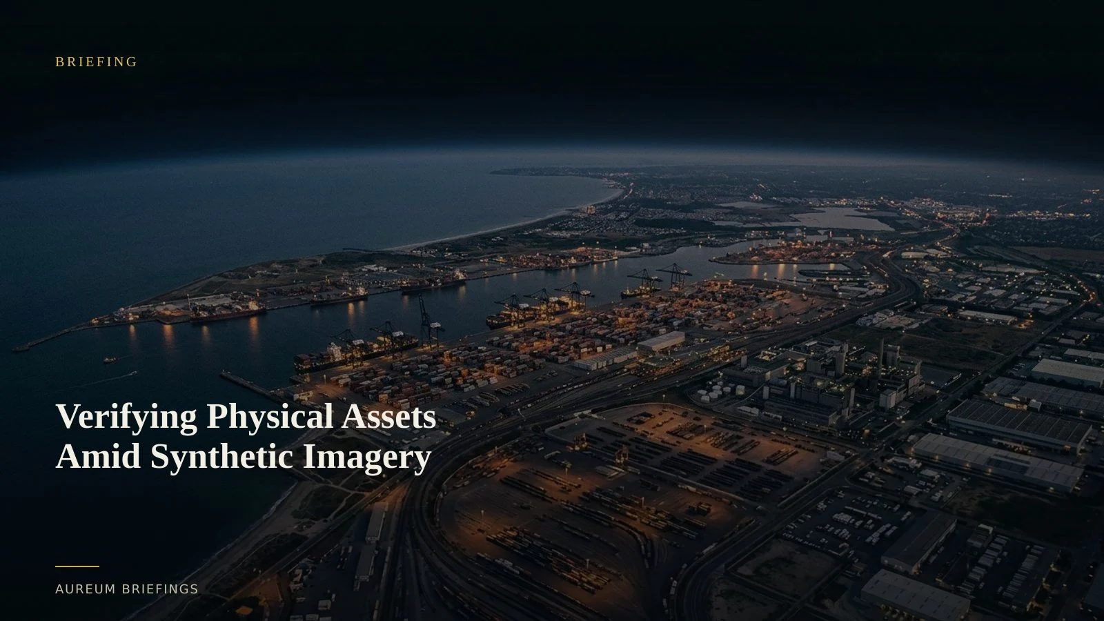
The risk of deepfakes in earth observation
Market narratives move fast, but unverified pixels move faster. Recent incidents highlighting fake satellite imagery risks show how easily synthetic imagery can simulate fire damage at energy terminals or fabricate industrial disruptions.
When artificial imagery can be created with a simple prompt, relying on unverified social media screenshots or single visual frames becomes a direct risk to capital.
Trading based on satellite images requires mathematical verification, not visual trust. A single optical photograph circulated on social channels is no longer sufficient proof of physical market activity.
Why raw satellite platforms leave traders exposed
Many investors attempt to verify stories using public portals. While platforms offering access to free satellite imagery platforms provide massive archives, raw scenes lack automated change detection and require specialised GIS knowledge to calibrate correctly.
Optical imagery can be obscured by clouds, obscured by darkness, or spoofed in secondary reports. Synthetic aperture radar (SAR) cuts through weather and light, bouncing radar pulses off metallic structures to deliver verifiable surface geometry.
Physical verification depends on multi-sensor consistency. Combining active radar backscatter with known orbital pass times ensures that observed changes match physical reality rather than algorithmic hallucinations.
Connecting terminal telemetry with orbital evidence
The modern physical economy relies on multi-layered verification. Downstream operators running digital tank farm operations integrate IoT gauge sensors, pipeline flows, and berth scheduling at the jetty to manage inventory with satellite-backed evidence.
For market participants outside terminal fences, satellite observations provide the independent balance check against commercial claims and regional headlines.
By pairing institutional market insights like energy market intelligence with Track board readings, traders confirm whether floating roof tanks are actually filling or if tanker berths are truly occupied.
How Aureum delivers verified physical answers
Instead of spending hours downloading uncalibrated files or worrying about synthetic visuals, Aureum provides direct satellite-backed analysis.
Query allows you to ask targeted questions about facilities, ports, or supply choke points and receive verified, physical-world answers in minutes.
Track lets you monitor critical commodity KPIs, storage yards, and shipping lanes on a continuous watchlist so you see true physical shifts as they happen.
Who needs verified earth data
This approach serves anyone making decisions on the physical economy without an internal research desk or GIS team.
DIY investors, commodity traders, risk managers, and analysts can now access institutional-grade physical verification directly.
When narrative headlines and generative media create uncertainty, satellite-backed proof gives you the confidence to act before the market completes its adjustment.
Verify physical supply in minutes
Join the beta. Ask Earth a question with Query, or follow live physical KPIs with Track.